Carcross – Yukon Territories

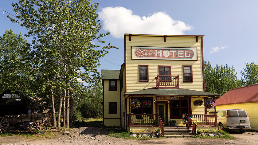
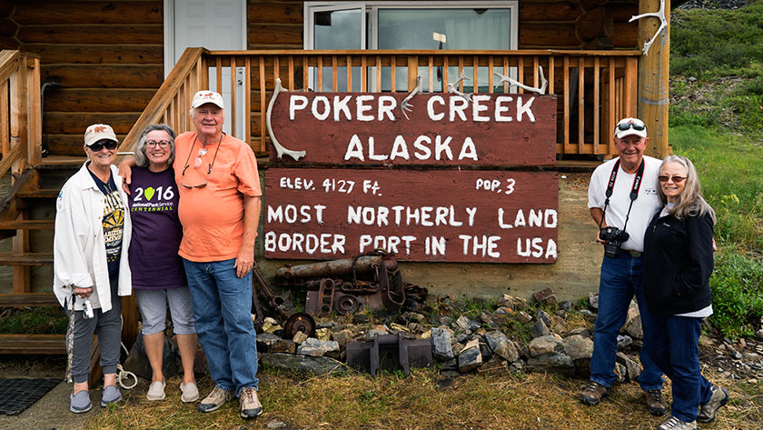
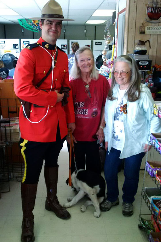
Queen Anne and I left the gang behind in Tok two days ago. Since we have different priorities for the trip home, the group figured it would be best for each of us to follow our own routes and time-table. Fred and Deb promised that they would send updates and photos via email so we can follow their adventures too. For example, they made it to Beaver Creek today and by chance, stopped at the same store we had visited yesterday . . . Only they ran into Dudley Do Right.

Dudly Do-Right With Sally and Deb
Sally and Deb run into Dudley Do-right at the local convenience market/Laundromat. Who knew stars hang out in Beaver Creek, YT?

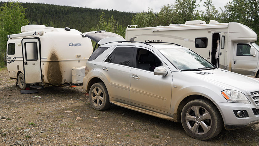
Yesterday’s road was enough to tear the rest of my hair out. After leaving Tok the Alaska Highway gets a bit rough, and I began to hear clunking coming from the trailer hitch. We pulled into a wayside to make sure nothing was wrong. I have a device that clamps the hitch to the receiver and I wanted to make sure it was tight. Since the parking area was on a slant, the first thing I did was to chock the trailer tires. After fiddling with the receiver and hitch, we tightened everything up and connected the Ritz to Fritz. A few miles down the road confirmed that we had fixed the clunk. It wasn’t until we left this morning that I realized that I had driven away from the chocks. Now we have to get a new set.

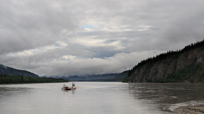
We were trying to make a campground in Destruction Bay (ominous name, isn’t it). Remember when I bragged about my clean and shiny truck and trailer. Well, between Beaver Creek and Destruction Bay, the Canadians have three construction zones. They never really fix the roads, they just scrape off the surface, pile more dirt in the wallows, then put more gravel and oil on it. That takes all summer. Just to summarize it, there was fifteen miles of wet mud, in the rain where they were fixing the road. By the time we made camp, I didn’t want to touch the car or trailer.

Kluane Lake and Ruby Range
The mirror like waters of Kluane Lake reflect the Ruby Range east of the lake.

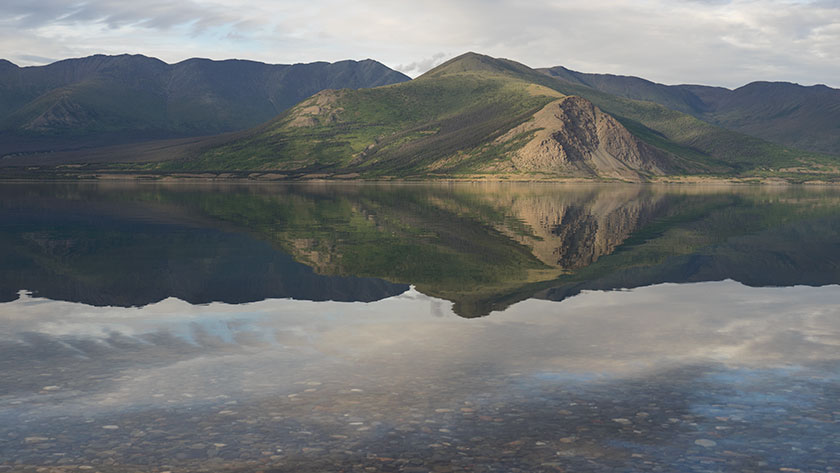
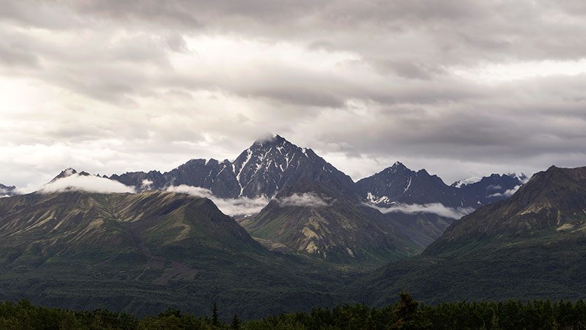
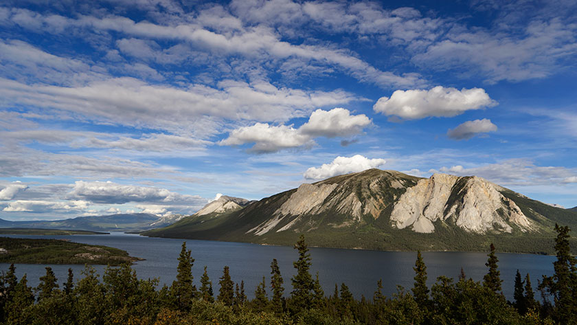
We did camp last night in a Provincial Park campgrounds at Kluane Lake. Our campsite was on the water so we enjoyed the marvelous view and the pair of loons that came by for a visit. Before a breeze picked up, the water was glass smooth. We sat around a campfire for dinner before turning in. As we were leaving a pair of white swans called us down to the shore to show off their signet.

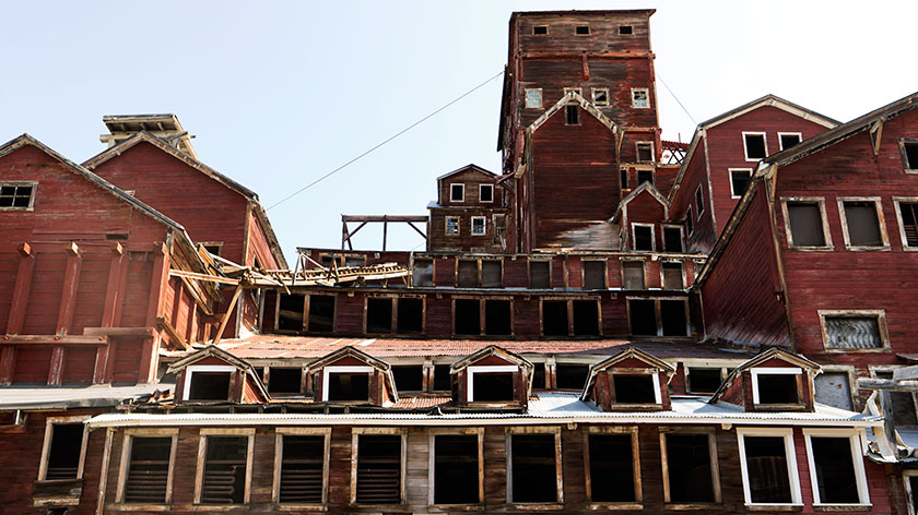
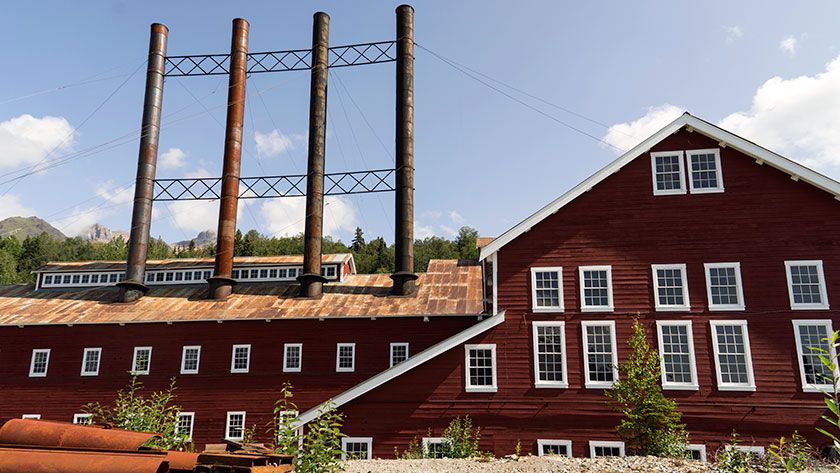
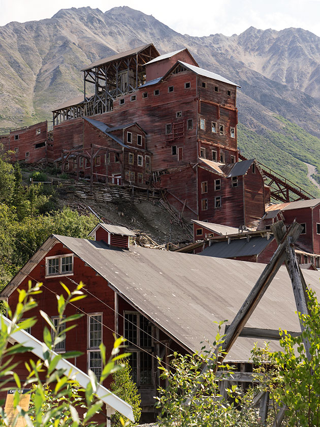
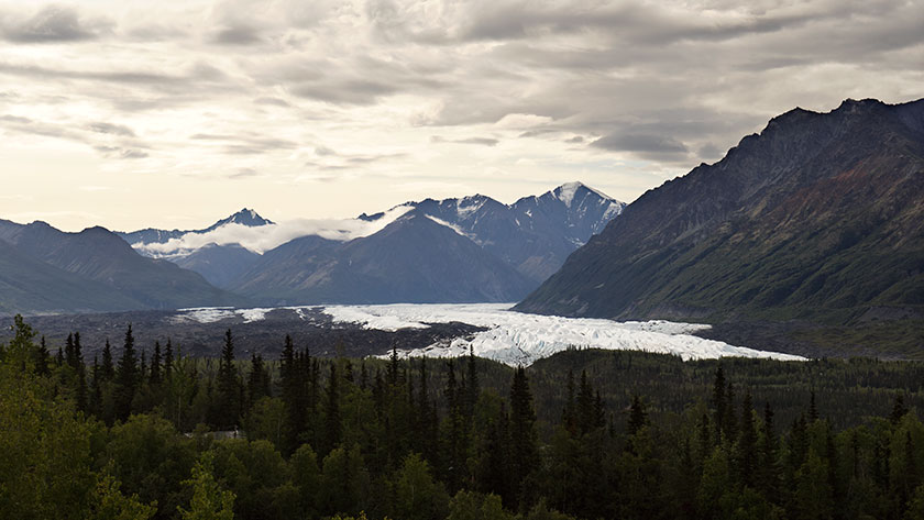
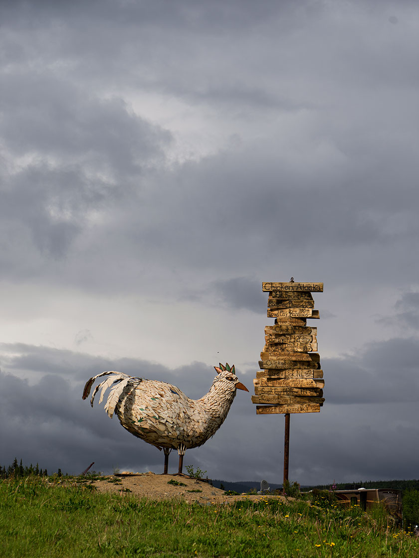
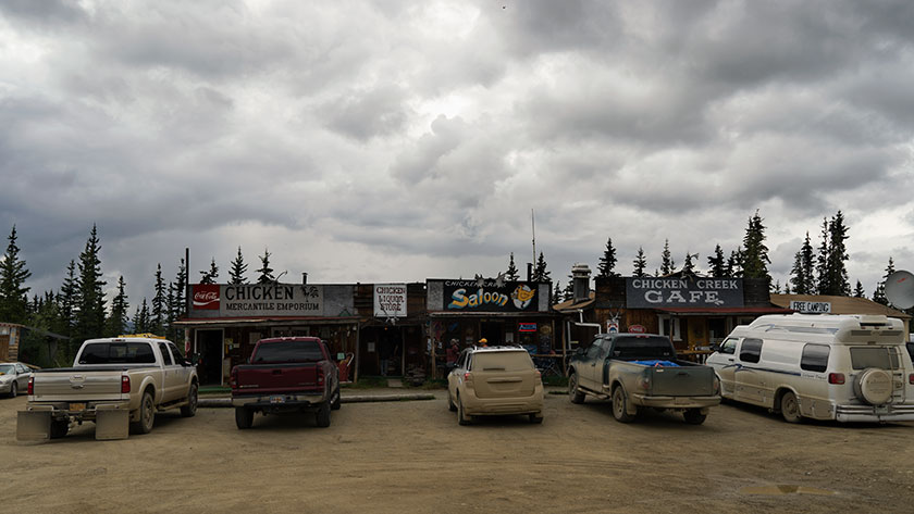
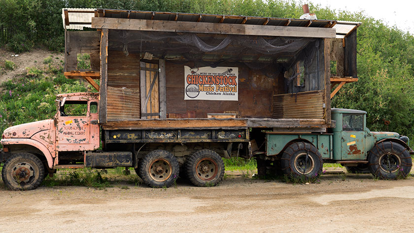
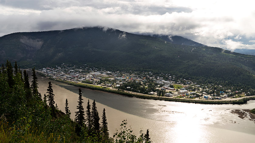
We made Whitehorse by lunch. That’s an important milestone as we now have traveled every mile of the Alaskan Highway. If you remember, we left the highway because we wanted to go through Dawson City, and only God knows why, the town of Chicken. (See previous dirty car rant.)

CarCross Railroad Depot
The town of Carcross has a working train depot.

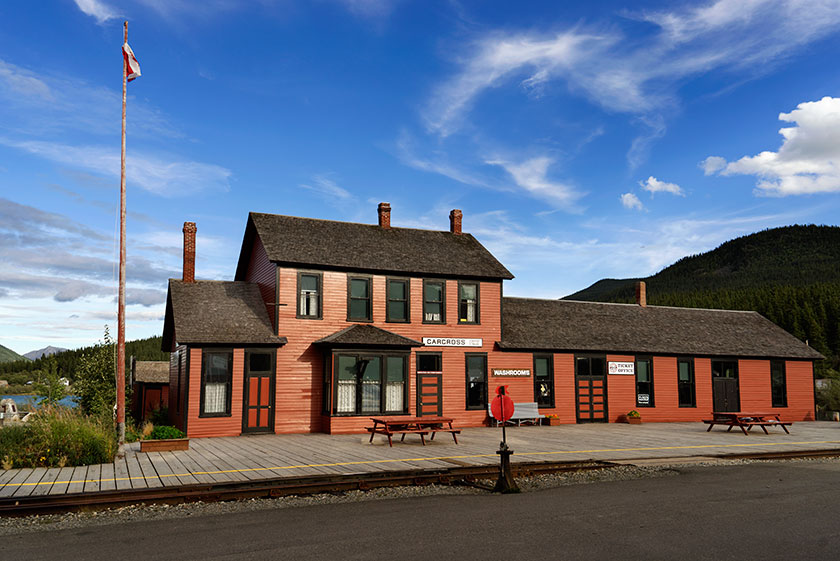
After lunch in Whitehorse, we headed south on the Klondike Trail and we’re camped in an RV park in Carcross. I know, the first thing that went through my mind was it was some car ferry or something, but this is the site where great herds of caribou forged the Yukon River. It sort of changes the way you pronounce the town’s name. It’s a small native village on Bennett Lake, which is one of a series of lakes at the headwaters of the Yukon.

Tagish Lake
Tagish Lake is one of several lakes that deliver water to the Yukon River.

We chose to stay here, because tomorrow we’re going to run into Skagway for a visit. It’s only sixty miles and we can make it down for lunch and back for dinner. I should have a report for you tomorrow.

jw

Tok – Alaska

Tok (rhymes with Coke) is a small town along the Alaska Highway, not a hundred miles west of the Canadian border. Sometimes, on the road signs, it’s called Tok, and other times, Tok Junction since it’s where Alaska Highway (AK 2) and the Richardson Highway (AK 1) intersect. Because of its site, the primary industry here is to service highway travelers. The unique thing about Tok is that if you drive into Alaska, it’s the only community you have to go through twice.

Queen Anne and I returned to Tok yesterday, and the rest of the gang will arrive this afternoon. (The S.S. Minnow did return to port late yesterday, and everyone had a great time; see Deb’s comment in the Valdez post for details) This means we’ve completed our circular tour of the state. We will bid Alaska farewell tomorrow and begin our trip home via the Yukon Territories, British Colombia, and along the U.S. West Coast.

We’re staying at the Sourdough Campgrounds RV Park and Cafe, run by Tim and Tracy Hulett. They both share responsibilities in running the park and café. Tim cooks, Tracy handles the tables, Tracy checks in guests, and Tim does maintenance in the park.

The park has two shticks going for it. The first is that they have a quarter car wash on the premises. I can’t begin to tell you how important that was to us after driving down the muddy Chicken Road. The second unique thing they do here is they hold their world-famous pancake toss on the stage behind the office every evening. OK, so someone in England knows about it, and that makes it world-famous.

Every night, Tim has about a dozen pancakes on a platter, and every attendant gets a turn at tossing two pancakes into a bucket. The first is practice, but you win a free pancake breakfast in the morning if you get the second one in. Of course, during the show, everyone gets to introduce themselves, tell where they are from, and what they hope to see on their trip. Each person tells their own story, and a lot of ribbing goes on. For example, when our gang all stood up and said that we were from Congress, no one believed anyone was left in town.

When someone is ready to toss a pancake (the secret is to toss and not try to fling them Frisbee style), they say ready, and the rest of the audience has to chant encouragement. If Tim catches someone not chanting, they have to go in front of the audience and get chanting lessons.

I know that I should have written about this last month, but I didn’t. We had WiFi problems, and I had to catch up on several posts. I also knew that we would be back . . . for another reason.

Rub on the Roibs
Last night, I made a rub from some of our ingredients and a bottle of spice that Fred had borrowed.

After the show we attended, we all sat around the campfire that Tim builds each evening and just chatted. We enjoyed our wine and asked to hear Tim’s story . . . which eventually led to cooking. As we compared favorite foods, he boasted about his ribs. I turned to Anne and said, “Here, hold my beer; watch this.” And that’s how the first-ever Great Tok Rib Smack-Down was born.

Borrowed Smoker
This is the electric smoker that Tim let me use. I’ve never used one like this before. The way I figure, If I lose, I can blame the smoker. If I win, I have to get me one of these.

It took a month looking for ingredients to make my sauce, and Tim graciously supplied a couple of rib racks and an electric smoker for me to use. The ribs have been on for three hours now, and there are two more to go before the judging. My ribs look great, but I haven’t even put sauce on them yet. Tracy has enlisted two or three people checking in to serve as judges. They won’t know who the cooks were.

Chef at Work
The ribs are half done now and looking great. I didn’t want them to dry out at this point, so I turned the heat down.

I honestly don’t care who wins. I see the event as a going-away party, a celebration of our time in Alaska. The best thing is that we’ll drive a sparkly, clean truck and trailer behind us when we hit the road.

jw

Also, although it doesn’t matter, the judges marginally voted for my ribs. I don’t believe there’s a loser here because we both enjoyed cooking. Thanks again for the hospitality, Tim.

 Tim Offer Congratulations
Jim and café owner Tim Hulett shake hands in congratulations.

P.S.S. At this evening’s pancake toss, yours truly won a free breakfast.

McCarthy/Kennicott/Kennecott – Alaska

If you ever fly into Alaska and rent a car or motor-home, there will be a clause on your contract that forbids you from driving on certain roads. The first is the Dalton Road to Prudhoe Bay, the second is the road to Chicken, and the most notorious is the McCarthy Road, and it’s infamous for a good reason. The builders never meant it to be a road.

Kennecott Ore Processing
The massive multi-story building processed ore from the mines and loaded it on train cars.

In 1900, two independent prospectors discovered a large copper deposit on the mountain above the Kennicott glacier, later tagged as the Bonanza Hills. Much political wrangling went on over the next ten years, and investors formed a publicly-traded company, except the person filing the papers misspelled the glacier’s name. Today, if you’re talking about the glacier below the mine, it’s spelled, Kennicott. Otherwise, anything to do with the mine is Kennecott. I’m glad to find out that I’m not the only one who flunked spelling classes.

Kennecott Power Plant
This building supplied the power needed to process the ore.

Getting back to the road, the company needed a way to get ore down to the Cordova port. Like any good corporation, they started another corporation to build a railroad and named it the Copper River & Northwest Railroad (CR&NW). Detractors used the initials to call the investment “Can’t Run & Never Will Railroad.” However, the scheme worked and ran successfully for twenty years before copper prices plummeted, and in the thirties, the company closed the mines.

Kennecott Shift Manager's House
Although small, most of the wood detail in the house is exceptional. I wonder how the manager would have reacted to the building leaning in his window.

Years pass, and someone salvaged the rails from the track, but there’s still a historic old mining site upriver from Chitina that could draw tourists. So, some brilliant entrepreneur dumps gravel over the ties, and that becomes the McCarthy Road. During its early years, the discarded spikes tore up a lot of tires. Since those are collector’s items now, they’re not as big of a problem. The road covers sixty miles and, on a good day, takes two to three hours to travel.

Kennecott Processing and Bonanza Hill
The processing plant towers over the town with its complex architecture. The mountain that supported this ingenuity is in the background.

The problem now is that engineers never built the road for automotive traffic. The road is not maintained well, so it is full of ruts and potholes; there is a frequent blockage due to rocks and mudslides, there are no shoulders, and the road runs through bogs. The road is essentially one lane wide, so cars passing need to give way. This year alone, there have been two incidents where a motor-home has pulled over to the ‘should have been a’ shoulder and needed rescue. Last week, one just flopped over on its side, and on my trip, we called a hook for one listing thirty degrees.

McCarthy Hotel
Whereas Kennecott was a company town, McCarthy was the place to let loose. There is still a functioning hotel there—good luck in getting a reservation.

OK, I cheated. I hitched a ride on the scheduled shuttle bus. It cost a lot less than calling a tow truck and the wear and tear on Fritz. Even though I thought the Chicken Road was worse in hindsight, I still felt it was the better choice. I only had enough time to work before the return bus and couldn’t hang around for the perfect light. Unless you want to pay $250.00 for the private bridge across the Kennicott river, you have to walk or take the shuttle up the four and a half miles to Kennecott anyway.

McCarthy Groceries Meats and Hardware
If you couldn’t buy it here, it was probably up on Silk Stocking Road.

If I were to make the trip again, I would consider paying another hundred dollars to McCarthy Air and flying from Glennallen to McCarthy. Then I wouldn’t even need to walk over the footbridge the park service built. To land at the McCarthy’s gravel field, you have to circle a couple of the mountains and come in over the glacier. That would be cool.

jw

Glennallen – Alaska

At the intersection in Glennallen, you have two choices. To the right the road leads south to Valdez. A left turn will take you north back to the Alaska Highway. Other than that, there isn’t a reason to come to Glennallen which is an unincorporated community consisted of an overpriced gas station, an RV park and a Laundromat. So why did we spend five days here?

Mount Sergent Robinson
The Chugach Range is south of the highway and can easily be seen across the river as you drive.

Let’s back up and start with the Glenn Highway, the road we took to get here. Mile for mile, it was the most scenic road we’ve traveled in Alaska. Starting in Palmer it’s an easy three-hour drive, climbing from near sea level to a pass almost four thousand feet before descending into the Copper River Valley.

Gypsum Mountain
The colors in Gypsum Mountain are the result of volcanic cooking. Normally gypsum is white, but iron deposits have rusted the gypsum.

The climb out of Palmer follows the Matanuska River as it cuts a path between the Talkeena Range to the north and the Chugach Range on the south side. It’s hard to see much of the Talkeenas, but the wide river basin really makes it perfect to see the mountains and glaciers lining the south side of the road; each more photogenic than the last.

Then at the head of the climb is the Matanuska Glacier, the river’s source. It’s bright white ice flows north from the mountain for miles before curving west at its moraine. The massive ice structure is easily visible from the highway and if you take the time, you can get access to the glacier from the side roads.

Matanuska Glacier
The Matanuska Glacier flows north for miles before turning west at its moraine.

Anne and I got an early start, thinking we’d stop for breakfast at the first café we found. There wasn’t one open until we reached the Eureka Lodge on the high pass. When we stopped we had to put jackets on to ward off the chilly wind. After enjoying ham and eggs the way God intended, It shocked me to find that the price of my coffee was only a quarter, and  our meals were equally reasonable.

Sheep Mountain
When you stop at a place called sheep mountain, make sure to keep your eyes peeled, you may spot Dall Sheep. In this case, my long lens was able to turn the white dots into white dots with legs.

That brings us back to the choices at the Glennallen intersection. While you make a decision, you may want to look straight ahead.  In front of you are three snow-capped mountains. The apparent tallest is Mt. Drum, but it’s only 12,011 feet tall. To it’s left is Mt. Sanford (16,237), and a bit south is the much broader active volcano, Mt. Wrangell (14,163). It’s then you’ll know that you’re at the western border of the Wrangell – Saint Elias National Park. It starts on the other side of the Copper River below you. It is the largest National Park in the US. At over thirteen million acres, it’s the same size as Yellowstone National Park . . . and Switzerland combined. It’s elevation ranges from the sea-shore on its south side to Mount Saint Elias which is over eighteen thousand feet. It is the largest concentration of plus fourteen thousand foot mountains in North America.

Enough statistics for now. Let me sit here for five days and see how much of it I can shoot. There are only two roads that cross the park’s boundary. Both of them are bad, but one I plan to take this week.

jw

Freddy’s Place – Alaska

Many camping neophytes don’t know of the alternative RV campsites. By that I mean the places you can stop and sleep for the night without paying.  The most well known is Wall-Mart. As long as you don’t block the front doors and don’t set the parking lot afire, you’re welcome to spend the night in their parking lot. When you’re on the road, it’s comforting to know that you can rely on those places in a pinch.

Last night we accepted such hospitality at Fred Meyers. That’s a northwest supermarket chain you may know as Kroger. We call them Fry’s at home. We were in transit from Seward to Glenallen and needed to find place to sleep. The Fred Meyer’s places (at least in Alaska) allow you to stay overnight in their parking lot. Since we were in transit for a day, we accepted their hospitality.

At first, we felt like we were imposing, but from our perspective, it was wonderful. We went to the service desk to make sure that it was ok to camp in their lot. The manager assured us that it was ok as long as we didn’t block the front entry. They then added, “You will be moving first thing in the morning, won’t you?”

In all, it was a wise decision to stay. We learned a lot about Palmer by walking its streets that evening, and we found out that they have a steam whistle that blows at five o’clock. It happens the whistle was at the fire station across the street from our parking spot . . . Thank God I was already on the pot; I’m forbidden from telling you what happened to Queen Anne’s pants.

Except for the paperboy who owned the loud rice-rocket delivering papers at 3am, the night was actually quiet and we slept in until eight. That’s when the morning whistle went off. Then I got up with my dopp kit and towel draped over my shoulder and started to march into the store to shave and brush my teeth.

“Sir; you can’t come in here dressed like that!”

“These are my best cowboy pj’s! What’s wrong with them?”‘. . . Don’t ever argue with a box boy.

Anyway, our thanks to Freddy’s, especially for keeping the store open til 10pm so that we could make a Cherry Garcia ice cream run. That got us through the night . . . Not to mention the morning coffee and doughnut fix.

jw

Chicken – Alaska

Chicken Overlord
The fourteen foot sculpture of a chicken sits on a hill overlooking the town. Next to it is a signpost designating the mileage to worldwide towns having chicken related names.

Chicken Alaska is a wide spot in the road, and the road was muddy when we traveled it. There are three parts to the town, two RV Parks and beautiful downtown Chicken, which I photographed in one shot. In spite of all that, the town’s people have a good sense of humor and don’t take themselves seriously.

Downtown Chicken
This panoramic shot captures all the stores in downtown Chicken,

Chicken started out as a gold camp and today there are several active claims being worked. It also is a convenient break on the grueling Top of the World Highway and so the reason for the two RV camps.

Chicken Stock Stage
This is the stage used for the annual music festival called Chicken-stock (get it? Woodstock – Chicken-stock).

Chicken was given that name because no one could agree on how to spell ptarmigan (they obviously didn’t have spell check like I do), so they used the plentiful game bird’s nickname instead. Ptarmigan is still the favorite bird to hunt, but you can’t make as many puns.

Chicken Poop
This is a shot of the public restrooms in Chicken. The private ones aren’t better, just smaller. We chose our RV park, because they had the only flush toilets in town.

We just spent one night in Chicken where we had dinner (fried chicken) and breakfast (chicken and waffles). The restaurants do have beef on the menu (chicken fried steak) if you prefer red meat. If you don’t want chicken or beef, there is a variety of omelet and other egg dishes available on the menu.

Attack Chicken
This is the coup that the chicken in Chicken produces all the eggs for the town’s restaurants.

After breakfast and purchasing a souvenir tee-shirt that says, “Quirky drinking town with a gold mining problem,” we continued on the muddy road towards Tok (rhymes with Coke) Alaska. As we left town it started to rain again. However, twelve miles out-of-town the road was paved, and the same forces that splattered mud on The Ritz, now began scrubbing it off. By the time we reached our destination, the front of the trailer was dirty, but not caked with mud. Hallelujah!

Lord of the Chickens
This sculpture was outside one of the restaurants we visited. Besides this one, there are small chicken details fabricated out of scrap metal pieces.

jw

Top of the World Highway – Yukon

We left Dawson City via the Yukon Ferry. It runs 24 hours and is free, so how could we go wrong? If there are caravans on the road, it could take hours for all of them to cross, but we were fortunate that none were in town. The ride takes less than a half hour, but driving on and off the boat is tricky. There isn’t a permanent dock, so the ramps just let down on the dirt road and there’s a gap that can cause damage to the vehicles. Fred had to re-position his cargo box, Sally got some trim damage and our front trailer foot was slightly bent when we drove off the ferry.

Dawson Ferry
The ferry links Dawson with the Top of the World Highway; and their golf course evidently.

We took some time to fix things and then started up the Top of the World Highway. That’s the name for the road from Dawson to Chicken, Alaska. It got its moniker from the how the trail follows along the three thousand foot mountain ridges.

Dawson City from the Top of the World
In only a couple of miles, we were high in the mountains and got a last look back at Dawson City.
Top of the World View
The views from the Top of the World Highway are spectacular on a clear day.

The road climbs steeply from the Yukon bank, past the golf course, and in our case, into the clouds. The views from the road I’m sure are both spectacular and scary at the same time. For us, it was raining, so we drove in and out of the clouds. Every once in a while, the clouds would lift revealing how steeply the mountains dropped into the valleys below us.

Another Highway View
As we drove along the road, we would drive in and out of the clouds.

Other people warned us that the road was not the best, but we decided to press on regardless. The rain made the gravel base even worse, filling the pot holes and washboard ruts with mud. We drove like it was a slalom course, trying to find a smoother section.

The Gang at the Border Crossing
This time it was the US Customs agent that volunteered to take our photo when we crossed into Alaska.

It was slow going, taking almost four hours to make the eighty mile journey to the border. After clearing customs, we started down the US side on brand new, shiny black pavement. It had bright yellow center lines with white lines down the edges. Our walkie-talkies were full of chatter about how much we loved this road, when about five miles later, it turned into . . . mud. Not gravel, just a plain old sloppy muddy road . . . with worse washboards and more pot holes.

Fritz Leaves Skid Marks
By the time we reached Chicken, the vehicles were caked in mud.

When we pulled into Chicken after another twenty miles, we got out of our vehicles and assessed the mess. The Ritz had two caked on mud stripes down the front that looked like skid marks. I had no idea how I was going to scrape that mess off, but by then, we just wanted to get in out of the rain and get something to eat.

jw