Prince George – British Columbia

Be careful what you wish for, it may come true.

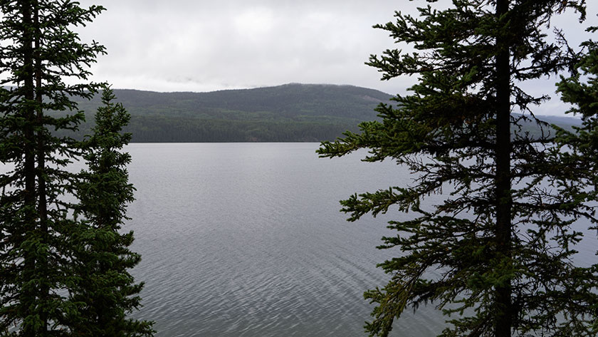
It was raining when we left Stewart yesterday. Except for one day in Homer, we’ve had rain every time we’ve visited the coast. There’s a message somewhere in there.

When we left Stewart, we hoped that BC Highway 37 would continue on as  a good road, and our hopes were realized. Since the little resort town of Tatogga, the road stopped being a two lane back road and widened enough to make room for the trucks coming out of Stewart with oversize loads. The rest of Hwy 37 to the Canada 16 junction, was noisy chip seal, but wide with a center-line and shoulders. For the two and one half hours we drove, I believe I counted the traffic we passed on one hand.

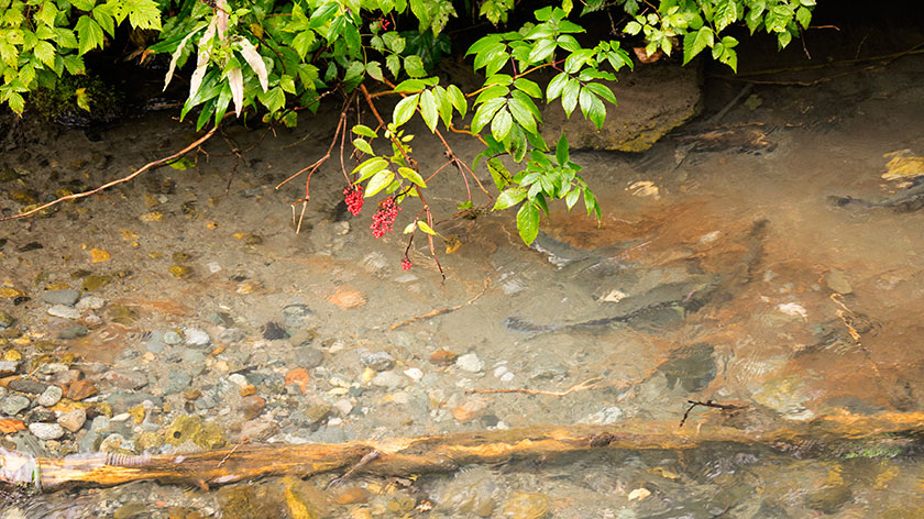
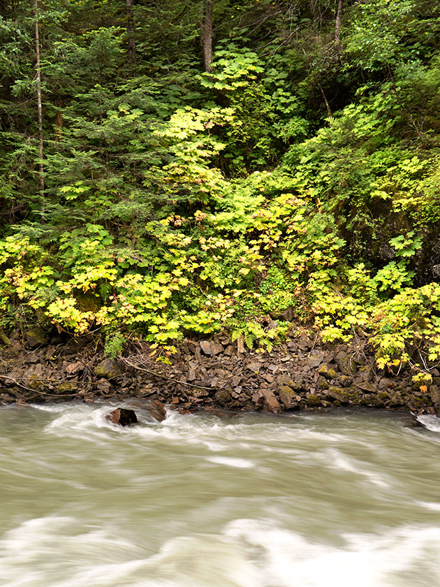
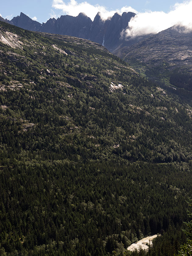
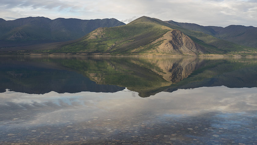
As we continued south, we began to notice how British Columbia differed from Yukon. Here you don’t get the broad expansive vistas, because the tall trees crowd the road. Besides being taller, we began to see a wider variety of trees, both broad-leaf and conifer mixed together. The mountains were still around us, but we could only catch them between the trees every so often. The drive was relaxing.

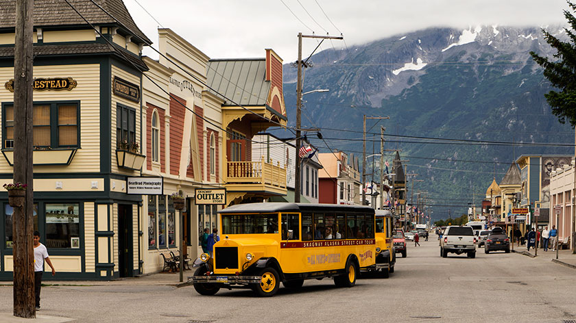
When we reached Kitwanga and turned east on the Yellowhead Highway (BC-16), we reentered modern civilization . . . and traffic. There are eight or nine little towns along that road section, each with the annoying 100 Km – 90 Km – 70 Km – 50 Km – 70 Km – 90 Km – 100 Km speed change pattern. They were well-kept cute little towns, some with a stoplight, some only a block long. The houses were clapboard sided one story cottages. After each town, more cars appeared on the road.

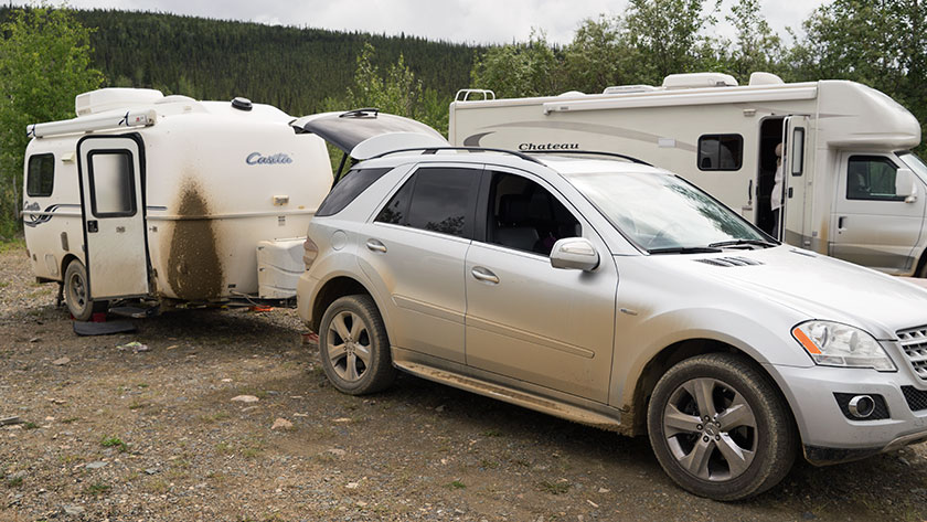
We had to get around large RV Riggs coming out of Prince Rupert, because they were going slower than what I had the cruise set at (I’m sorry officer, you mean those signs aren’t in miles per hour?). Least you think I was the speed demon, all the commercial trucks passed us.

We entered Prince George just in time for 4:30 rush hour. The cars packed the highway going in all directions. We missed our turn for the RV park and went past the Wall-Mart and Costco before we could find a place to turn around. The road drops off a bluff and has Jersey barriers in the center. For a moment, I had Pasadena Freeway flashbacks.

We plan to leave in the morning. We’ll start south on Hwy 97 for the two-day trip to Vancouver. After driving the last month in the wilderness, I’m having to relearn how to deal with these people on the road. I’m going to have to do it quick, because I’ve got to get around Seattle, the Bay Area and (shudder) LA. Maybe we should just stay here, it’s a nice enough town, although I’ve been told that most of the town moves to Quartzite for the winter. Or maybe, I should just turn around now, and find one of those abandoned log cabins to live in. All I need is a satellite dish and internet. After all, Amazon delivers anywhere.

jw

Hyder – Alaska

And you thought we left Alaska. Well, we did. Except, we made a side trip to Stewart, which is in British Columbia and Hyder, an Alaska town. They could conceivably be the same town, but there’s an international border in the middle of main street. There is only one way in to Hyder and it’s also the only way out. The US Customs doesn’t even man the border here, only the Canadians do. They really asked us if we bought anything in Hyder, which is funny, because it’s essentially a ghost town with one closed general store.

The tourist attraction of Hyder is the bear observation platform built and maintained by the Forest Service. You’re probably thinking what I had. It’s that place where they filmed the brown bears catching salmon in mid-air. It’s not.

Here, the service has a deck along Fish Creek, where you can watch the salmon make their journey upstream, spawn and die. All of this is very interesting . . . to a fisherman or biologist. Today we saw pink and chum salmon nesting while steel-head kept pestering their courtship.

Salmon Spawning in Fish Creek
A female pink salmon has dug a nest while a couple of courting males wait with anticipation.

Occasionally, a bear will wander on the set, and grab a meal. That’s what gets the tourists excited . . . including us. I admit, I paid five bucks to watch a bear grab a salmon out of the creek. It would have been worth it . . . had one showed up, but we didn’t get the schedule.

Each day, at the ticket window, there is a list of the most recent bear sightings. They start at around 6am and the last one shows up around 10am. Six is when the ticket window opens, so nothing happens before then. Our camp host told us that late in the afternoon was good too, but for the last week, sightings we of bears in the morning. So, when you get here, come early.

V
An otter scratches his head while resting on a downed pond log.

Disappointed about not seeing bears, we took solace in watching two otters playing in the water. They were tricky to shoot, because every time I got the camera ready, they submerged. I’m glad I’m not shooting film, because I would have wasted two rolls shooting water ripples.

Glacier Detail
Detail of an unknown glacier near Stewart.

The scenery is nice in Misty Fjord, home for this community. A couple of nice glaciers and several waterfalls decorate the mountainsides. The broad leaf trees are at the first stage of turning color and the fireweed seed pods have begun to open, releasing white feathery seeds to the wind. In another week or two, this place will be ablaze in color.

Bear River
The Bear River runs from the above glacier to the sea, a length of twenty miles, with more water than Phoenix uses annually.

Tomorrow morning we head further south towards Prince George and civilization. It has a Wall-Mart and (be still my heart) a Costco. It’s funny how your priorities change when you’ve been on the road for a couple of months.

jw

Stewart – British Columbia

While we were still in Carcross Sunday, I needed to get up during the night. It seemed pretty dark, but I didn’t really pay much attention, because Queen Anne made some black-out curtains for the windows. As I got back in bed, I peeked through the curtains, and I saw stars in the night sky. I’ll let that soak in for a minute. It was finally dark enough that stars were visible. I don’t know if we were enough south, or that much time has passed since summer solstice, but we’re beginning to have real nights. That does wonders for my sleep.

We hit the road early yesterday and made our way along the Alaska Highway towards Watson Lake. That section of road is in good shape and we made good time. The Canadians are good about putting orange markers along the road sides, indicating the bad sections. Either you slow down or drive on the left side around the road hazard. Since we were the only ones on the road, we could easily maneuver in any lane we chose.

Since I didn’t have to drive a slalom course of potholes, I drove relaxed, and that gave me a chance to look around. I noticed the willow leaves were turning yellow already. This is the beginning of August and fall colors are starting above the 60th parallel. The second thing I noticed was how beautiful the Yukon is. Sparsely dominated by black spruce and willow, where even with a modest grade, we rose above tree line. The mountains, separated by lakes, are not craggy, snow-capped and grandiose, like we’ve seen in Alaska, but they stand tall above the tundra. They also go on forever, range after range for hundreds of miles.

Unless we wanted to go back the way we came, we needed to take another road south, and that was Highway 37, about fifteen miles west of Watson Lake. We originally had planned to stay in the RV camp at that junction, but we had made such good time that we decided to press on. After driving south five miles we crossed the sixtieth parallel into British Columbia.

Have you ever had the feeling that you were sure you’ve made a mistake even though all the signs say you haven’t? That’s Highway 37. On the map it looks like a major road cutting south through upper BC, but through the windshield, it looked like a Kentucky back road. Barely two lanes wide, it cut between the bogs twisting every which way. The speed limit was 48 mph (80km), but only a lunatic would have driven that fast pulling a trailer. It had no center lines and no shoulders. As we drove further, the road began to widen and became what we consider normal. We had almost worked up the nerve to go the speed limit when we had to stop to let a black bear cross in front of us.

Dease Lake
The view from our campsite was so pretty that we had to clean the trailer’s back window.

We stopped in a dry camp for the night about a hundred miles into BC. A place called Dease Lake. Our camp site was on a bluff overlooking the lake, and the view was so pretty that we broke out the window cleaner and scrubbed the back window so we could enjoy it. We slept the night with the curtains pulled back.

As with every road we’ve been on during this trip, there was the usual construction sites and the dirty mess on the vehicles. This road was full of such projects and by day’s end, The Ritz was carrying ten pounds of mud on the front.

Old Stewart Boarding House
An old building in Stewart Alaska below the glacier towering in the mountains above.

Towards the end of day two and four construction zones later, route 37 finally turned into a real highway with center lines and shoulders. We have another day before we’re done with this road, but tonight we’ve made camp in the town of Stewart. I’ll show you why tomorrow.

Chevy's in Stewart
When was the last time you saw two of these parked on your street?

jw

Skagway – Alaska

We had lunch in Skagway today. It was an international meal. We had to leave the Yukon Territories  for British Columbia, and then go through customs at the Alaska border. The trip took about an hour from our Carcross camp. With this little jaunt, we have covered every mile of the Klondike Highway, from mile zero in Skagway to the Dawson City ferry.

The Klondike Highway between Carcross and Skagway is pure eye-candy. It climbs beside a series of lakes up to the three thousand foot White Pass, and the border. There the road descends back to sea level in thirteen miles, with grades up to 15% (my guess, they’re not marked). I would compare it to Arthur’s Pass in New Zealand. If you lost your brakes on either hill, I’m sure you’d hit the ocean and skip across the water.

Tree Line
The tree line at White Pass is below 3000 ft. Glacial ponds dot the bedrock landscape.

The vegetation along the road ranges from dense spruce to above tree line, then back to broad leaf forests. The top of the pass is glacially scraped bedrock with thousands of little alpine ponds. If you keep watch on the high slopes, you may see a mountain goat or two. After passing the summit, it’s easy to see how a glacier cut the fjord that Skagway is in.

White Pass
The west side of White Pass has a steep grade. In this photo, you can see the train tracks climbing along the fjord wall above the Skagway River.

As for Skagway . . . there were two cruise ships in port, so the town was packed. There were shuttle vans taking people up to the pass, there were trains taking people up to the pass, and there were airplanes taking people up to the pass. You can rent bicycles, mopeds or just walk thirteen miles up the hill.

If you don’t know the history of the pass, here’s the thirty-second version.

Part A: During the 1890’s Klondike gold rush, prospectors throughout the world converged in this area trying to get to the Yukon gold fields. The original preferred route was the Chilkoot Trail. Historic photos show men shoulder to shoulder, climbing this pass in the snow. To cross into Canada, you had to prove that you could sustain for a year, so you had to have a ton of provisions with you. You, or someone you paid had to carry all that junk up to the border and pile it on a scale. Only then could you enter the Yukon.

Part B: In 1900 an US/Canadian company completed a narrow gauge railroad that runs between Skagway and Whitehorse (it still does) through White Pass. After that prospectors abandoned the Chilkoot route. Twenty years later, all the easy gold was gone anyway.

Yellow Street Cars on City Tours
Old building line the historic part of town, where merchants offer the typical items that tourists crave.

Back to Skagway. A lot of today’s tourists didn’t care about the pass. They’d prefer to shop for jewelry, furs, tee shirts or fudge. While they’re at it, maybe they’d like a beer, a meal, or visit a brothel. That’s what Skagway does very well. The historic buildings are well-kept and neat to see. There are several museums to visit and learn about its history. But the things you need to live there are hard to find, like a gas station, grocery store or even a working bank. They are in a different part of the town.

Skagway Post Office
Every American Town has one.

I’m glad we visited, we had fun visiting the brothel (it’s on the haunted building registry), but we didn’t pay ten bucks for the twenty-minute tour (same price as in 1899). Continuing a tradition that started on my fiftieth birthday, Anne bellied up to the bar and bought me a beer, but not a the tee-shirt.

Tomorrow, we break camp and move south into British Columbia where we will be dry camping lakeside at a Provincial Park. We won’t have an internet connection, so my next post will have to wait till we return to civilization.

jw

Carcross – Yukon Territories

Queen Anne and I left the gang behind in Tok two days ago. Since we have different priorities for the trip home, the group figured it would be best for each of us to follow our own routes and time-table. Fred and Deb promised that they would send updates and photos via email so we can follow their adventures too. For example, they made it to Beaver Creek today and by chance, stopped at the same store we had visited yesterday . . . Only they ran into Dudley Do Right.

Dudly Do-Right With Sally and Deb
Sally and Deb run into Dudley Do-right at the local convenience market/Laundromat. Who knew stars hang out in Beaver Creek, YT?

Yesterday’s road was enough to tear the rest of my hair out. After leaving Tok the Alaska Highway gets a bit rough, and I began to hear clunking coming from the trailer hitch. We pulled into a wayside to make sure nothing was wrong. I have a device that clamps the hitch to the receiver and I wanted to make sure it was tight. Since the parking area was on a slant, the first thing I did was to chock the trailer tires. After fiddling with the receiver and hitch, we tightened everything up and connected the Ritz to Fritz. A few miles down the road confirmed that we had fixed the clunk. It wasn’t until we left this morning that I realized that I had driven away from the chocks. Now we have to get a new set.

We were trying to make a campground in Destruction Bay (ominous name, isn’t it). Remember when I bragged about my clean and shiny truck and trailer. Well, between Beaver Creek and Destruction Bay, the Canadians have three construction zones. They never really fix the roads, they just scrape off the surface, pile more dirt in the wallows, then put more gravel and oil on it. That takes all summer. Just to summarize it, there was fifteen miles of wet mud, in the rain where they were fixing the road. By the time we made camp, I didn’t want to touch the car or trailer.

Kluane Lake and Ruby Range
The mirror like waters of Kluane Lake reflect the Ruby Range east of the lake.

We did camp last night in a Provincial Park campgrounds at Kluane Lake. Our campsite was on the water so we enjoyed the marvelous view and the pair of loons that came by for a visit. Before a breeze picked up, the water was glass smooth. We sat around a campfire for dinner before turning in. As we were leaving a pair of white swans called us down to the shore to show off their signet.

We made Whitehorse by lunch. That’s an important milestone as we now have traveled every mile of the Alaskan Highway. If you remember, we left the highway because we wanted to go through Dawson City, and only God knows why, the town of Chicken. (See previous dirty car rant.)

CarCross Railroad Depot
The town of Carcross has a working train depot.

After lunch in Whitehorse, we headed south on the Klondike Trail and we’re camped in an RV park in Carcross. I know, the first thing that went through my mind was it was some car ferry or something, but this is the site where great herds of caribou forged the Yukon River. It sort of changes the way you pronounce the town’s name. It’s a small native village on Bennett Lake, which is one of a series of lakes at the headwaters of the Yukon.

Tagish Lake
Tagish Lake is one of several lakes that deliver water to the Yukon River.

We chose to stay here, because tomorrow we’re going to run into Skagway for a visit. It’s only sixty miles and we can make it down for lunch and back for dinner. I should have a report for you tomorrow.

jw

Top of the World Highway – Yukon

We left Dawson City via the Yukon Ferry. It runs 24 hours and is free, so how could we go wrong? If there are caravans on the road, it could take hours for all of them to cross, but we were fortunate that none were in town. The ride takes less than a half hour, but driving on and off the boat is tricky. There isn’t a permanent dock, so the ramps just let down on the dirt road and there’s a gap that can cause damage to the vehicles. Fred had to re-position his cargo box, Sally got some trim damage and our front trailer foot was slightly bent when we drove off the ferry.

Dawson Ferry
The ferry links Dawson with the Top of the World Highway; and their golf course evidently.

We took some time to fix things and then started up the Top of the World Highway. That’s the name for the road from Dawson to Chicken, Alaska. It got its moniker from the how the trail follows along the three thousand foot mountain ridges.

Dawson City from the Top of the World
In only a couple of miles, we were high in the mountains and got a last look back at Dawson City.
Top of the World View
The views from the Top of the World Highway are spectacular on a clear day.

The road climbs steeply from the Yukon bank, past the golf course, and in our case, into the clouds. The views from the road I’m sure are both spectacular and scary at the same time. For us, it was raining, so we drove in and out of the clouds. Every once in a while, the clouds would lift revealing how steeply the mountains dropped into the valleys below us.

Another Highway View
As we drove along the road, we would drive in and out of the clouds.

Other people warned us that the road was not the best, but we decided to press on regardless. The rain made the gravel base even worse, filling the pot holes and washboard ruts with mud. We drove like it was a slalom course, trying to find a smoother section.

The Gang at the Border Crossing
This time it was the US Customs agent that volunteered to take our photo when we crossed into Alaska.

It was slow going, taking almost four hours to make the eighty mile journey to the border. After clearing customs, we started down the US side on brand new, shiny black pavement. It had bright yellow center lines with white lines down the edges. Our walkie-talkies were full of chatter about how much we loved this road, when about five miles later, it turned into . . . mud. Not gravel, just a plain old sloppy muddy road . . . with worse washboards and more pot holes.

Fritz Leaves Skid Marks
By the time we reached Chicken, the vehicles were caked in mud.

When we pulled into Chicken after another twenty miles, we got out of our vehicles and assessed the mess. The Ritz had two caked on mud stripes down the front that looked like skid marks. I had no idea how I was going to scrape that mess off, but by then, we just wanted to get in out of the rain and get something to eat.

jw

Dawson City – Yukon

It figures! Of all the towns that we’ve visited in Canada so far, the one that I liked the best is our last. Well, Dawson is the kind of town tailor-made for tourist . . . sort of like Tombstone or Jerome in Arizona, but with more than one street. There’s a good mix of new and old. Shops, restaurants, and exhibits are distributed throughout the town. The streets aren’t paved and board walks keep pedestrians boots out of the mud.

 Theater House and Hostle
Dawson City takes pride in maintaining its historic buildings and makes sure new buildings fit into the period.

Because it’s situated on the Yukon River, it served as a supply and shipping depot for gold rush minors. Stern-wheelers would bring supplies and people up from Whitehorse and the mines would send gold and silver ore in return. It’s one of the last places you can catch a paddle-wheeler for a river cruise.

You get the sense that the merchants play all of their cards. One of the department stores we visited looked like a normal tourist trap, with trinkets and tee shirts up front, but towards the back were household goods and appliances. When the tourists disappear, the locals get you through the winter.

Kissing Houses
The foundations of these famous buildings began sinking when the heated dwellings began melting the frost their footings sat on.

Probably the iconic Kissing Houses is the post card shot with which you are most familiar. I can testify the buildings still stand in 2016, well over a century later. There are several structures like them in town. They lean because the builders placed the heated building’s foundations directly on the permafrost. The buildings warmth melted the ice and then the footings sank. Today’s building codes prevent damage like this.

Jack London's Cabin
Deb views the inside of Jack London’s cabin. Restorers moved the cabin 80 miles to Dawson after discovering it up river.

Tucked way back in the town are the cabins of Robert Service and Jack London. They weren’t neighbors because London’s era was in the 19th century while Service didn’t live here for another 20 years. Actually Jack London’s cabin is a replica discovered 80 miles away. Historians reconstructed it using some of the original logs while a duplicate cabin in California has the rest of the logs.

We had a good day here and we’ll be leaving via the river ferry to the ‘Top of the World Highway’. It got its name because it follows the ridge-lines. We’ll spend tomorrow night in Chicken, Alaska; a three building town that has more chicken puns than the world needs. I wonder if we’ll eat at KFC.

jw

PS: As I publish this post, the time is 10:44pm, and the sun has not gone down.