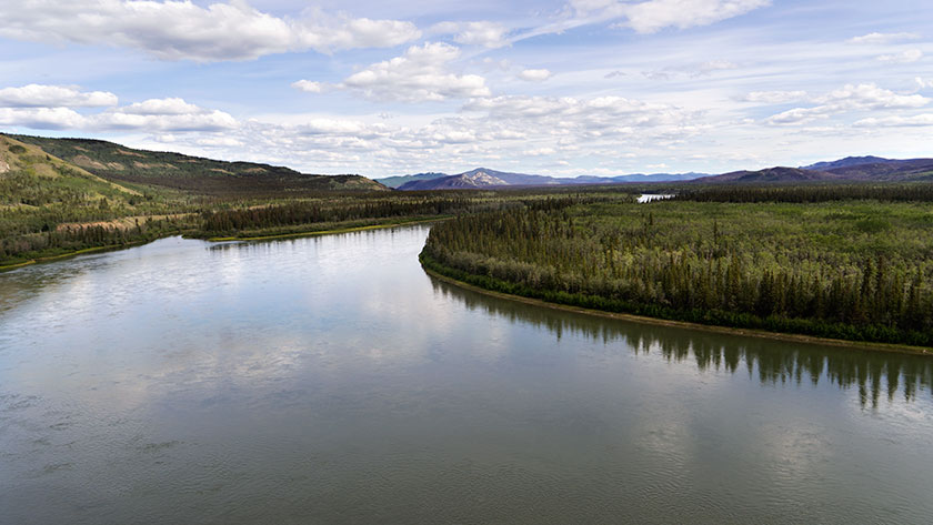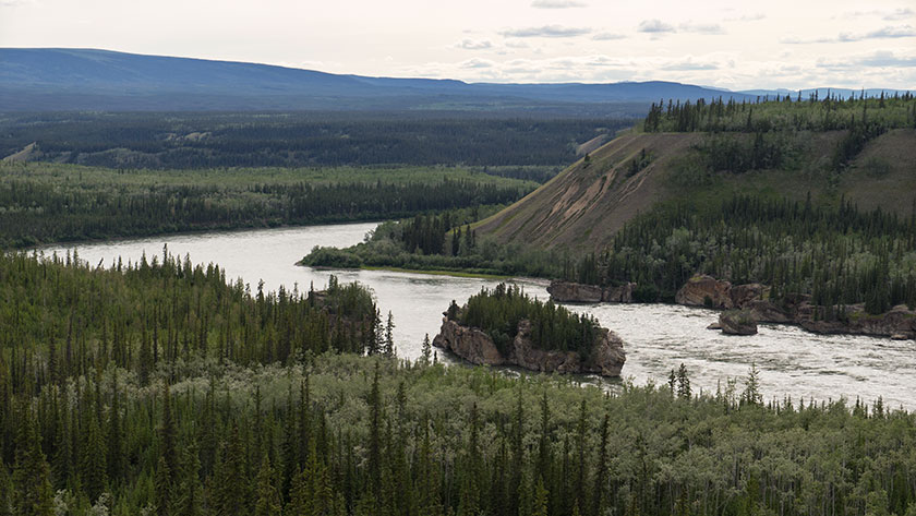
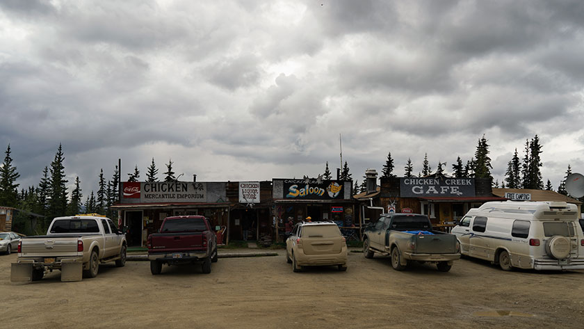
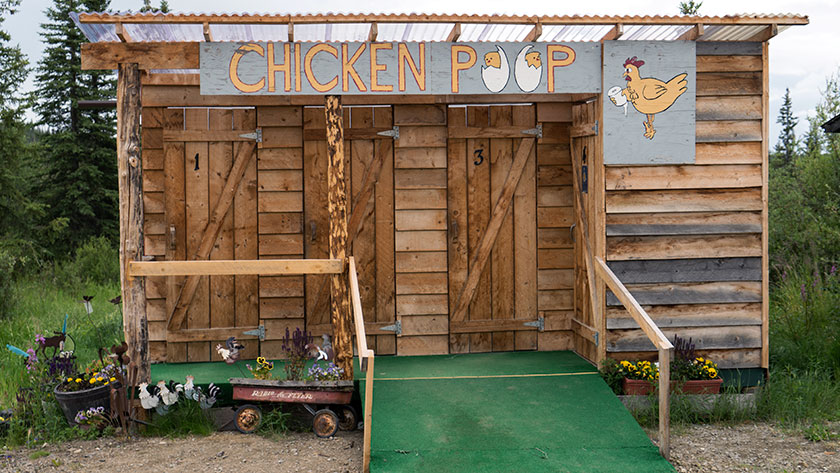
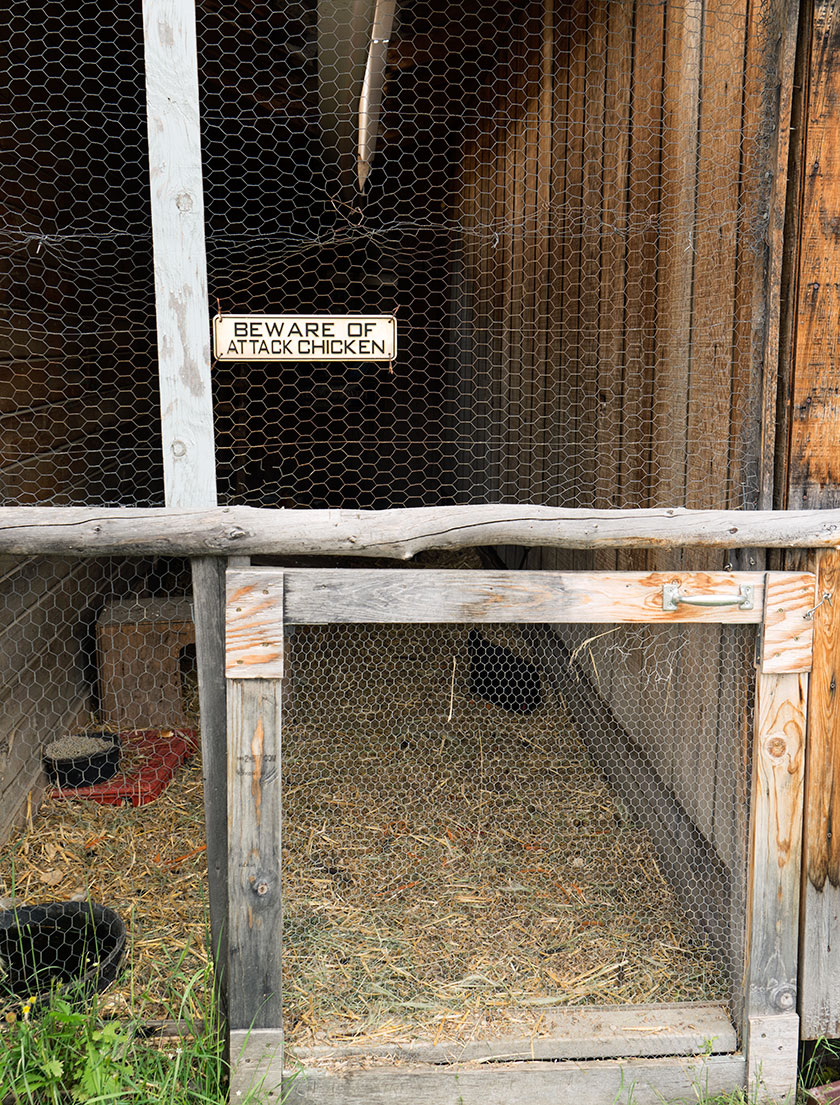
Chicken Alaska is a wide spot in the road, and the road was muddy when we traveled it. There are three parts to the town, two RV Parks and beautiful downtown Chicken, which I photographed in one shot. In spite of all that, the town’s people have a good sense of humor and don’t take themselves seriously.
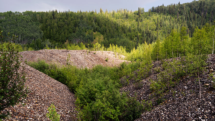
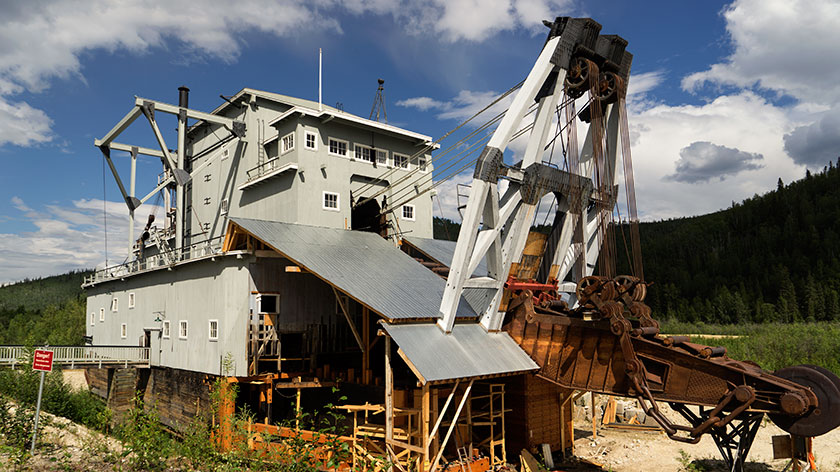
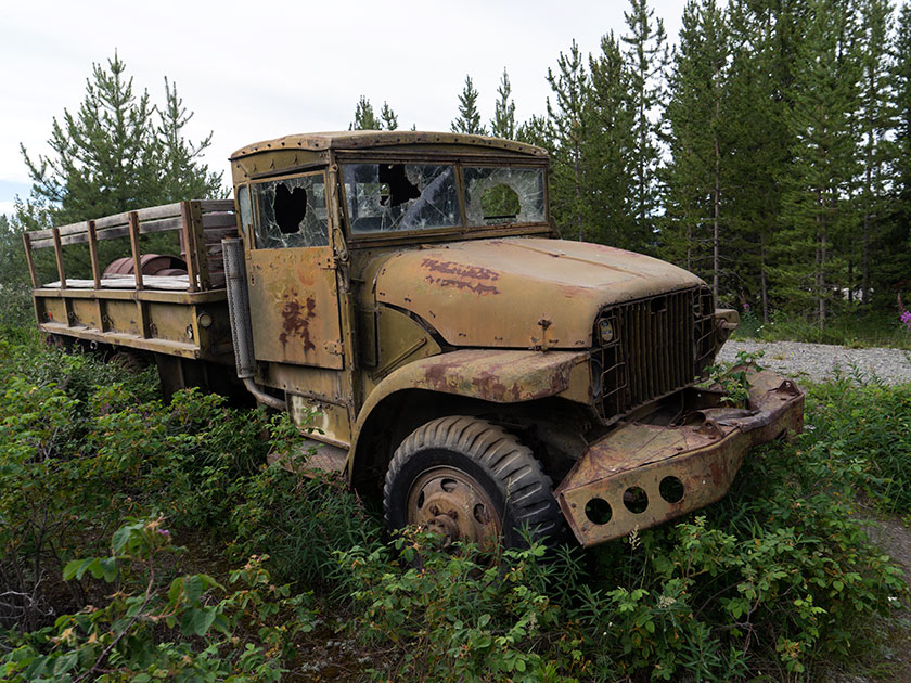
Chicken started out as a gold camp and today there are several active claims being worked. It also is a convenient break on the grueling Top of the World Highway and so the reason for the two RV camps.
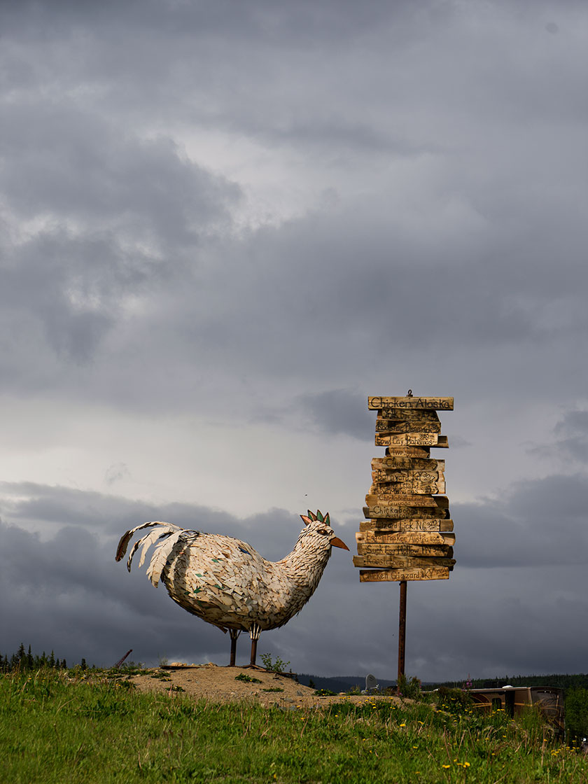
Chicken was given that name because no one could agree on how to spell ptarmigan (they obviously didn’t have spell check like I do), so they used the plentiful game bird’s nickname instead. Ptarmigan is still the favorite bird to hunt, but you can’t make as many puns.
We just spent one night in Chicken where we had dinner (fried chicken) and breakfast (chicken and waffles). The restaurants do have beef on the menu (chicken fried steak) if you prefer red meat. If you don’t want chicken or beef, there is a variety of omelet and other egg dishes available on the menu.
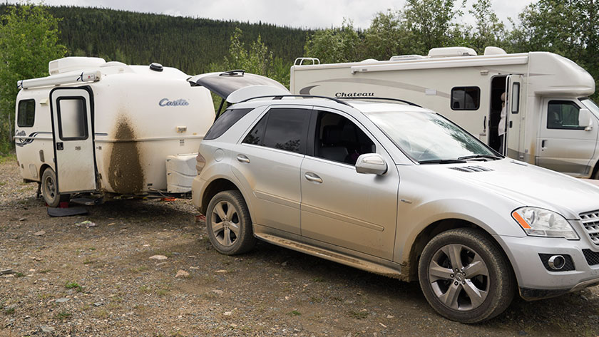
After breakfast and purchasing a souvenir tee-shirt that says, “Quirky drinking town with a gold mining problem,” we continued on the muddy road towards Tok (rhymes with Coke) Alaska. As we left town it started to rain again. However, twelve miles out-of-town the road was paved, and the same forces that splattered mud on The Ritz, now began scrubbing it off. By the time we reached our destination, the front of the trailer was dirty, but not caked with mud. Hallelujah!
jw