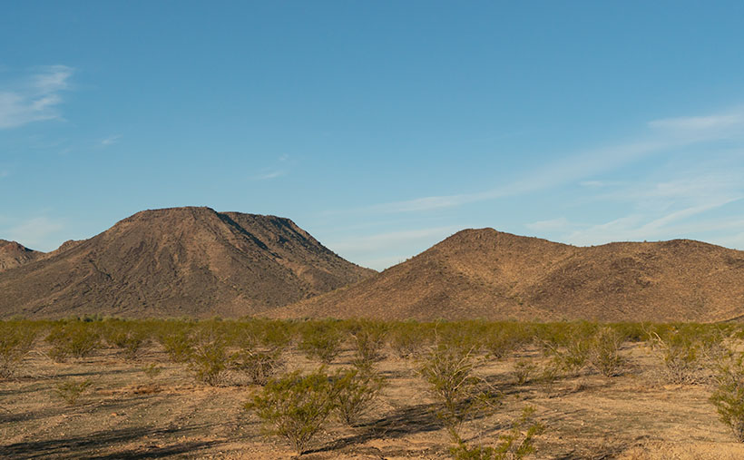
In last week’s article, I mentioned that the Eagletail Wilderness encompassed two desert mountain ranges and the Sonoran Desert basin that lies between them. The Eagletail Range was one, while the other is a chain known as Cemetery Ridge. After I gave you their name, I made an offhand remark about how they got that name. Well, I accepted that question as this week’s homework assignment, boys and girls. Here’s what I found—nothing.

Well, that’s not wholly true because, in my handy Arizona Place Names book, there is this entry:
“This sixteen-mile-long and two-mile-wide, low range was the scene of the killing of several prospectors in the 1870s, according to local stories. Their bodies are said to be buried on the ridge (sic), which is also known as Cemetery Hills.”
When I read that, I thought, “Alright, there’s an interesting historical story to tell my loyal readers.” So I, as the unofficial Marshall Trimble understudy, started a week of research that would have made Jimmy Olson proud. I wanted to find out what miners, who killed them, why, and where are they buried. I asked Alexa, Siri, Cortana, and Google’s unnamed assistant. None of them knew nothin’.
I did find out that I’m not the only person searching for those answers. Google referred me to the Desert Mountaineer blog. There I found the anonymous author had written a three-part journal covering Cemetery Ridge. The writer is a pretty good storyteller and photographer, but his passion is climbing mountains, and the photographs are incidental, kind of the opposite of what I do.
His three-part saga covers four days of driving the same roads I did, looking for graves. He travels with his dog, sleeps in his truck, and often stops to climb the mountains he passes—sometimes two or three in a day. I’m impressed! Anyway, after exploring the entire length of Cemetery Ridge, he didn’t find our legendary graves. He does mention the place where Deadman Wash crosses Cemetery Ridge on the west side. If ever there were a place to look, that would be where I’d start. It has all the intrigue of a pirate’s treasure map.

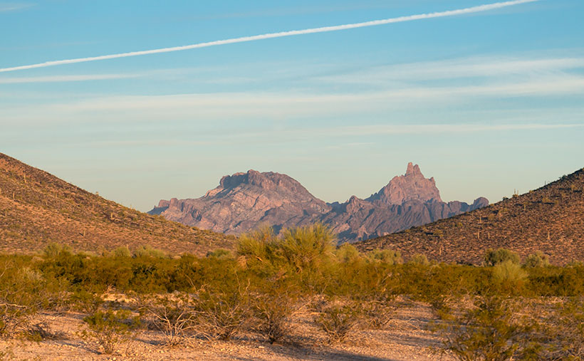
I shot this week’s image along the Arlington-Clanton Well Road on the south side of Cemetery Ridge. The Ridge’s mountains (like hills really) appear and disappear in a straight line for 16 miles. At one of those places where they slip below the surface like a giant sea-serpent, I saw Eagletail Peak framed and lit by the sunrise. You can make out the ‘tail feathers’ sticking up at the top in the picture. I want to explain that the Eagletail Wilderness is directly under the Los Angeles-Phoenix flyway, so contrails are part of the natural landscape, but they won’t let me fly my drone there.
You can see a larger version of Eagletail Peak on its Web Page by clicking here. Next week we go hunting for more treasure in the Eagletail Range. Come back then and see if we were successful.
Until next time — jw

I’ll bet I know who “WE” is. And I thought I was just going along for the ride.
Mountain climbing, treasure hunting???
Oh, suck it up, you wuss.
You Boys be careful!
Happy Valentines Day 💕