When an Arizonan talks about a pine tree, the red barked ponderosa is most likely what they’re referencing. It’s the common pine tree in Arizona. We have so many of them that our grove grows like a slash across the state’s middle, like a belt, and they continue east into New Mexico. It’s the world’s longest contiguous ponderosa forest in the U.S. Sadly, some of our brightest citizens try to burn them all down each fire season.
It’s a happy tree for me because it means that I’m in the high country when they’re around. Most likely, I’ve traveled to escape the desert heat and spend some time in the shade of the tall pines napping with a bit of fishing line tied around my toe. I have a fond memory of getting up early on a fall morning to drive up to Hawley Lake, and as the sun came up, we were on the Rim Road. The morning sunlight flickered between the tall trees, and I felt like I was driving through the Black Forest in Germany. Although I’ve driven that road hundreds of times since then, I’ve never had the same feeling.
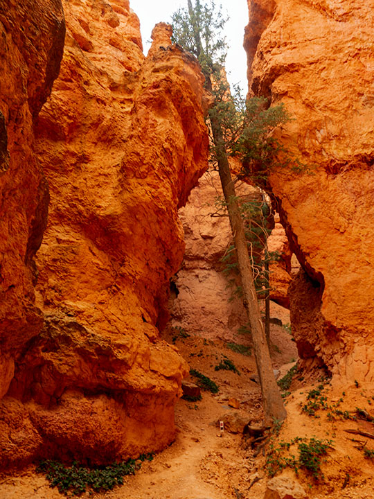
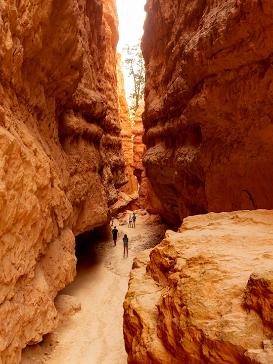
During my visit to the Hualapai Range outside of Kingman, I was surprised to see ponderosa growing. In the Desert Southwest, they only grow at higher elevations. On the road, I rely on the trees to estimate my height. First, come the pinion pine at around 5,500’, then the ponderosa starts at 6,500’, and then the aspen show up at over 7,500’. The mountain island on top of the Hualapai’s probably is most likely the western edge of our grove. Only the Black Mountains are west of here, and they’re not high enough to support the big trees.
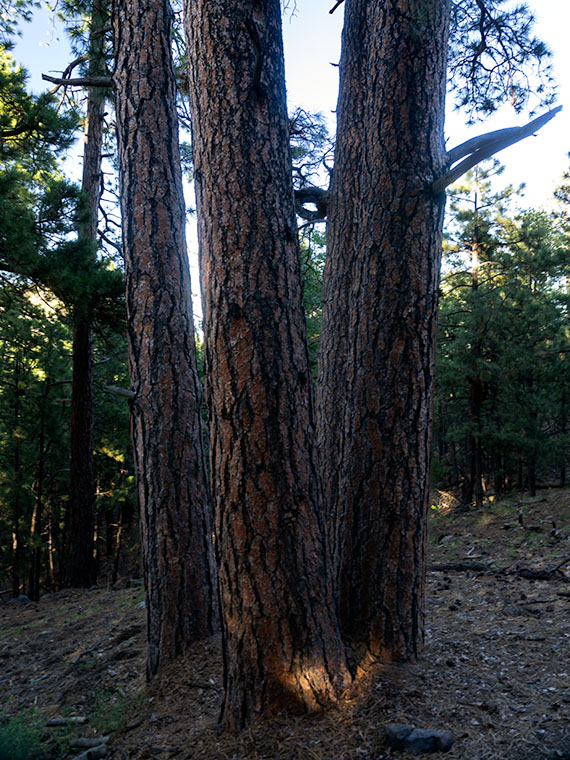
I walked by the ponderosa’s in this weeks image on my way back to Archie after a hike up the mountain. My legs were already sore, and this four-tree grouping reminded me of a four-poster bed. The spacing between them was ideal for hanging a hammock. It’s a good thing I don’t carry one because I would have spent the night, or even worse, I would have rolled over and fallen out onto the ground. That would be just my luck.
I call this week’s image Four Ponderosa, and you can see a larger version of it on its Web Page by clicking here. Be sure to come back next week when we show another photograph from the Hualapai Mountains.
Until next time — jw