Skull Valley (the town, not the people) is an odd community. You will think it’s another Arizona ghost town when you drive north on Yavapai County Road 10—Iron Springs Road. With its empty buildings, you’d be right to believe that. However, it wasn’t always that way. There’s a lot of history associated with this town.
Before the white man came here, it was home to the Yavapai Apaches, who were noted for marauding neighboring tribes. Undocumented stories tell of one particular raid they made on the Maricopas. In the skirmish, the Apaches stole crops, livestock, and women while killing the village men.
The Maricopa didn’t much like that, so the normally peaceful valley farmers gathered warriors to exact revenge. The gathering set off to hunt down the Apaches, and to keep this story short, they kicked ass and then left the raiders to lie where they fell. Years later, when Captain Hargraves was leading a squad of The First California Volunteers—the first white people that traveled through this area—they found a pile of bleached skulls in a dry wash. This was the only evidence of the great battle.
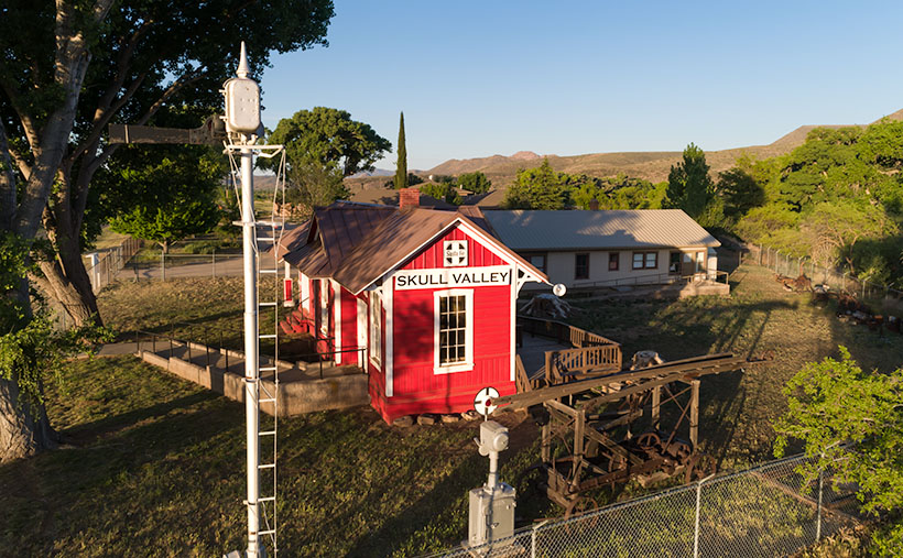
Then in 1866, a band of 100 Apaches challenged four freight wagons escorted by four foot-soldiers. One of the infantrymen ran three miles back to Camp McPherson for help (that’s what Skull Valley Station was long before it ever sold gas—see last week’s post). When the Calvary showed up, things quickly heated up, ending in a gun battle with another 35 Apache warriors added to the bone pile. At least, that’s what it says in my copy of Arizona Place Names.
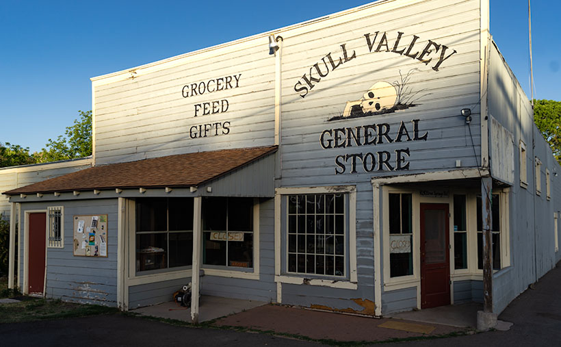
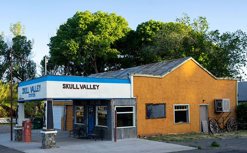
The general store in this week’s featured image was opened in 1915 and served Skull Valley for over a hundred years. Half of that era was before freeways when the main highway between the Valley and Prescott was US 89 and/or the Iron Springs Road, and travelers needed to buy gas more frequently then. I suppose that—while you’re stopped—running across the street to buy a basket of food was handy. Locals both shopped and got their mail at the store.
Today, the passenger train doesn’t run anymore, and most of the Prescott traffic is on Interstate 17—on the other side of the Bradshaw Mountains. Little traffic flows through Skull Valley, and that’s probably the main reason two of the three buildings I’ve recently photographed have been shuttered. It would be easy for you to conclude that this little town is dead. You’d be wrong.
Oddly enough, our little town is Arizona’s mecca for Polo. The field is on the Van Dickson Ranch, and you’re welcome to come to watch a match—or worse, take lessons. On the dirt roads north of town, you can visit the Painted Lady Vineyard, smell the flowers at the Skull Valley Lavender Farm, and have a beer at the Barnstar Brewing Company. It’s a small craft brewery that’s open on the weekends. You would never know that these places were there because you can’t see them from the highway. I only found out about them from an Arizona Highways TV episode.
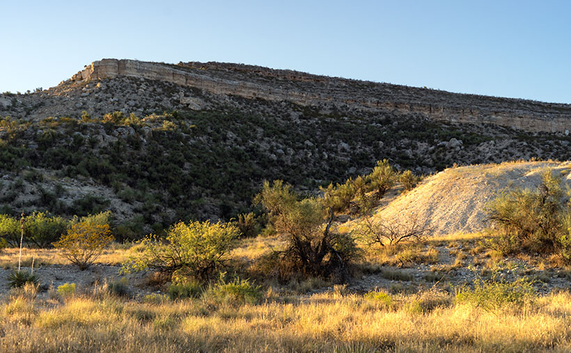
In this week’s picture, I really like how the morning light creates a two-tone effect on the building. I was there before 6 am so I timed the light pretty well. Incidentally, the cottonwood trees behind this building—and last week’s station—are growing in Skull Valley Wash—three miles upstream from where the bleached bones were discovered.
When I win the Power Ball, I’m going to buy this place and convert it into the perfect breakfast and lunch café/gallery—as I wrote about when we were still living in Goodyear. I will hire a Michelin Chef to run the place and have a Danish baker sell pastries in the front next to the cash register. All of the walls will be covered with my photographs for the patrons to enjoy and buy. Since there won’t be much traffic, I’ll purposefully run it at a loss until the money runs out or I do. Since I don’t care to work anymore, my responsibilities will be to stop in occasionally and sample the Danish Waffles for breakfast or the world’s best Reubens at lunch. Watch this space; I’ll let you know how it’s going.
You can see a larger version of Skull Valley General Store on its Web Page by clicking here. We have one more image to share from Skull Valley, so make sure to come back next week.
Until next time — jw