Memorial Day Weekend The official start of summer in the desert.

This is the Memorial Day weekend and we get Monday off from work. Good, I need a break from my frantic retirement schedule. I’ll probably use the extra time to get some extra naps in over the holiday weekend. You just don’t know what kind of stress I go through having to decide each day whether to have breakfast on the front or back porch.

For our overseas friends, Memorial Day is the day in the U.S. that we honor and remember servicemen and women who have fallen in defense of our country.  There is some bunting and American flags hung in neighborhoods around the country, but most of the big ceremonies are held in national cemeteries. It’s not the joyous celebration like the 4th of July. It’s more somber.

Memorial Day is one of summer’s delineating pillars. America’s cultural summer officially begins this weekend and closes on Labor Day. The two holidays mark when public pools open and close, the beginning and end of grilling season—in places where that’s actually a thing, they frame when schools close, and the time span that it’s proper to wear white. It’s the first long weekend to get away with the family to the beach, the lake, Disneyland, or camping in a National Park. It marks the beginning of travel season—when the amateurs are loose on the roads. It’s the most dangerous weekend to be driving.

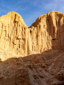
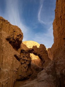
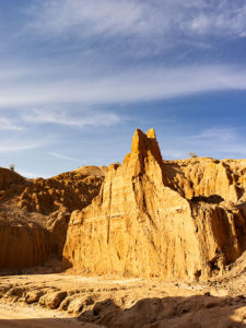
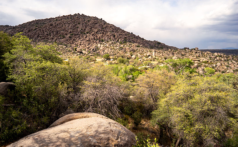
This year, we’ve had a mild May in Arizona but weather forecasts predict sustained triple digits beginning Monday. The Bee-line highway will be packed with valley traffic headed to Payson. I-17 will be crowded with even more people on their way to Prescott, Sedona, or Flagstaff, and the swells will be on I-8 for the San Diego beaches. Phoenix will be deserted. A good part of the exodus from the cities will be campers and it’s the wrong time to be in the woods. We haven’t had rain since January so the forests are bone dry. Rangers have prohibited campfires they have closed some of the choicest locations. Still, the woods are packed with people who know more, and next week, we’ll be watching stories about the new forest fires on the evening news. Camping will be much more fun after the summer monsoons hose down the forests.

Rush Hour
Rush Hour – North Ranch residents waiting for the security gate to open before escaping for the summer.

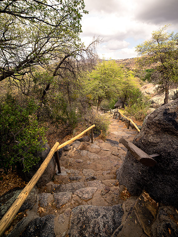
Queen Anne and I aren’t going anywhere. The streets in our little park are already quiet. The snowbirds have pulled out already and they won’t be back for months. Even the over-night spots up-front are empty with just a couple of stragglers remaining. I have the streets to myself while I’m on my bicycle ride in the cool mornings. You see, here at North Ranch, Memorial Day marks the season’s end. We’re 180º out of phase.

In college, one of my required courses was the natural history of the desert where they talked about how the flora and fauna have adapted to survive the harsh climate. I can tell you it’s true because after forty-five years I’ve learned some summer survival rules. I’ll share a few with you.

  • Pack all your sweaters away by April 15th.
  • Cover your windows with your heaviest curtains by May 1st.
  • Get your chores done by 10 am, then hide inside until the sun goes down.
  • Always find a shade tree to park under.
  • A cool drink of water does not come out of the tap.
  • Wear wide brim straw hats.
  • Pack an ice chest and shop at the Prescott Costco.
  • Never wear black unless you want a nice sear instead of a tan.
  • There is never enough sunscreen.
  • Forget about daylight savings time, the last thing we need is more daylight.
  • A green lawn is a money pit.
  • A person driving a car with all the windows down has the right of way—thanks to Bob Boze Bell.
  • You never need reservations for lunch at an outdoor café.
  • What’s a dinner jacket?

That’s a few that come to mind off the top of my head. I’m sure you can add to the list and I urge you to in the comments section. Maybe we can come up with enough to compile into a beginner’s guidebook. I’ll think about it while I sit on the front porch in my white shorts and shrunk wife-beater enjoying my morning coffee amidst the peace and quiet.

Until then — jw

The Spout

This week’s featured image is the third of my Mud Cliffs series that I’ve written about for the last couple of weeks (here’s the original). In the first post, I started at the mouth of the slot canyon and last week, we got to the narrow passageway’s end—or the head. Today, we begin filling the spaces between.

The Spout
The Spout – With a low sun showing the cliff face structure, the low point turns into a waterfall during stormy weather.

I shot today’s photo, like the first, late in the day on the outbound hike—after the light turned to gold. The low sun adds a warm color to the mud and, in this case, really shows the pillar structure in the sediment. All though, I wouldn’t want to put myself in that kind of danger, I can imagine a temporary waterfall pouring over the spout between the mounds during a summer monsoon. I’ve seen it happen at Lake Powell. We were exploring a similar canyon by boat when an afternoon deluge hit us. It was a Disneyland ride with waterfalls all around. Fortunately, we weren’t hiking and need to worry about escaping a flash flood.

You can see a larger version of The Spout on its Web page by clicking here. I hope you enjoy viewing my newest entry and tag along as we look at the canyon walls for the next couple of weeks.

Until next time — jw

Mud Arch Picture of the Week

Continuing last week’s adventure to the mud cliffs at Alamo Lake, I took this week’s picture at the other end of the slot canyon. It’s not a very long hike—maybe fifteen minutes if you don’t dawdle—but I was exploring with a camera and stopped to take pictures often along the route. The reward waiting for you at the canyon’s head is this mudstone arch carved by rushing water draining from the surrounding mesa. If you hike a few yards beyond the arc, the canyon ends, and you’re on the mud flats between Date Creek and the Santa Maria River. The water is runoff from the Black Mountains in the north that has carved the canyon from the flats.

Mud Arch
Mud Arch – At the end of a short hike up the slot canyon is a mud arch as a reward for your effort.

Since I’m not a geologist, I can’t tell you how old the arch is, but because the surrounding soil quickly erodes and because I slept in a Holiday Inn Express once, I assume that it hasn’t been there for very long—geologically speaking—and it may soon crumble. You’ll notice that the arch’s shape isn’t smooth and rounded like the sandstone arches in Utah, which tells me it hasn’t been polished by blowing wind. That’s another clue to its relatively young age. I won’t be surprised if it disappears in less than a decade.

When I arrived on this scene, the sun was low enough that it didn’t shine onto the canyon walls, but it did add that late afternoon glow to the mound behind it and separated the arch from the background—sort of a spotlight, as it were. With streaky clouds in the sky … what more could a photographer ask for?

You can see a larger version of Mud Arch on its Web page by clicking here. I hope you enjoy viewing my newest entry and tagging along for the other canyon shots I’m revealing this month.

Until next time — jw

Bat Ears Picture of the Week

A couple of weeks ago, I drove to a part of Arizona that I hadn’t seen before. I knew about Alamo Lake as a fisherman but never went there because it wasn’t stocked with trout, and the fishing reports always warned about rattlesnakes. That was enough to put me off. But, during our club’s spring classes, one of the students brought in photos from the Alamo area that I found so interesting that I changed my opinion about visiting the La Paz County lake.

She took photos east of the lake, where Date Creek cuts through an ancient mud deposit. Because of how the intermittent water has eroded the soil, the place is known as Mud Cliffs. It’s not shown on any maps I have, but I knew it was the general area, so I left the house with enough time to explore and still have a couple of hours to shoot before sunset.

From Wenden, the paved road to Alamo State Park runs due north. It has little or no traffic, and it only took me an hour to get to the park store. When I asked the friendly staff inside about the cliffs, the host handed me a hand-drawn map. “Head toward Wenden to the Wayside Road, then jog over to Palmerita Road and follow it north.”

“Thanks,” I said as I took the map and paid too much for a Butterfingers candy bar and the park’s day fee—even though I was leaving.

During the classes, my student said her group was out on ATVs, but she believed you could get there by car. She was right. All the roads were wide and well-graded, and when I drove them, they didn’t have a lot of washboards. After I reached the spot on the map, I searched for the canyon shown in her pictures, and when I found it, I spent an hour or so hiking and shooting the photos that I’ll be sharing this month—I guess it’s Alamo Lake Month.

Bat Ears
An erosion formation at the head of the slot canyon glows in the late afternoon sun. The pair of points on top reminded me of a bat or maybe even Batman.

This week’s image is called Bat Ears, and I took it at the slot canyon’s mouth towards the end of the day. I passed it going in, but the sun didn’t have the same warmth as in this image, so it wasn’t interesting enough to shoot. The name comes from the pair of points at the top. This cliff doesn’t have a name—none of them do. Because the soil is so soft, it quickly erodes. A good flood will wipe out the existing landscape and replace it with new formations. The ears may not last another year, so I got to name a geological feature that—maybe—no one else will see. My chest swells with pride.

You can see a larger version of Bat Ears on its Web page by clicking here. I hope you enjoy viewing my new entry, and I hope you’ll tag along as I work my way up the canyon. It’s a pretty exciting hike.

Until next time — jw

The Shrine Under Yavapai Skies

Ask any Arizonan about Yarnell and they’ll most likely tell you about the horrible 2013 fire that swept through the town and the 19 hotshot firefighters that lost their lives when the fire trapped them, in an open field. It’s a big deal for us and to honor those men, Arizona built the Granite Mountain Hotshots Memorial Park. Someday I hope to show that park to you, but I must first build up my stamina to be able to complete the seven-mile round trip trail over a 1200’ elevation rise. For now, I want to talk about another Yarnell attraction that’s celebrating its 79th anniversary this year; The Shrine of Saint Joseph of the Mountains. I’m guessing it’s a place that even most Arizonans haven’t heard about.

As you travel north on Yarnell’s main street lined with antique shops, it’s very easy to miss Shrine Drive, a paved road on the east side barely wide enough for passing cars. The road winds through dappled shade of scrub oaks lining Harper Canyon. The pavement only lasts a half mile, and when it turns to dirt, it’s at the Shrine parking area. As you get out of the car, the first thing you notice is how quiet it is. Even the birds whisper. You don’t see much at first, but through the trees in front of you, seated at a table is a welcoming statue of Jesus.

Praying Jesus
Praying Jesus – A statue depicting Jesus Praying is an example of Felix Lucero’s artwork at the shrine and makes a stop worthwhile.

The retreat (park, pilgrimage, or however you may interpret its purpose) was the concept of the Catholic Action League of Arizona in 1934. They worked on the plan for four years and contracted self-taught sculptor and unemployed dishwasher Felix Lucero who was living under the Congress Street Bridge in Tucson. Felix’s life is a story of its own and his other collection of work is in Tucson’s Garden of Gethsemane; now know as Felix Lucero Park. The shrine is a representation of the 14 Stations of the Cross—a ritual where Christians symbolically stop and pray at significant events that happened on Jesus’ crucifixion path. The stations at the shrine are along a stair pathway that climbs the mountainside culminating with a sculpture of Jesus on the Cross. Then you continue down the stairs past the last stations until you reach a sculpture representing the resurrection—a slab in an empty grotto draped with a shroud cloth.

Stair Path
Stair Path – The stairs leading to the Stations of the Cross are often Steep. Considering that they already start at a moderate elevation, it’s not an easy journey.

The 2013 fire swept through the shrine site. It destroyed several of the support buildings, charred the trees, and completely burned some of the wooden station crosses. The fire burned away the crucifix on the hilltop completely leaving the sculpture of Jesus floating in the air suspended by bolts welded to a metal frame. Remarkably, the ivory colored statue was not damaged or discolored.

Shrine View – There are places along the path where the canopy opens revealing beautiful views of the surrounding countryside.

I went to Catholic school for four years and that was enough to cure me of organized religion, but as an artist, I enjoy the architecture of churches and the paintings, sculptures, and stained glass within them. I think that’s why I enjoy places like this shrine. I can see the thoughtful planning, hard work, and attention to detail found here. Besides, as you near the top, the tree canopy opens, and you have wonderful views of Yarnell and the Weaver, Bradshaw, and Granite mountains.

The next time you’re traveling the back road to Prescott, I recommend you spend some time visiting The Shrine of St. Joseph in Yarnell. If nothing else, walking the stations is good exercise. Let me warn you that your starting elevation is 4700’ and the stairs are steep. It’s almost a rock scramble; bring water. You’ll enjoy the art, the views, and the serenity. There’s no charge but there is a donation box that you’re welcome to use.

Until next time — jw

Reach for the Sky Picture of the Week

I drove down past the Safeway into the Vulture Mountains last evening to do some photography. My intent was to capture an image of Vulture Peak shining in the sunset, so I drove around until I found an angle where I could get the image that I visualized and set up my camera. It didn’t work. From the spot I was shooting, it would work better as a sunrise shot. While at that scene, I saw this funny little saguaro on my right and decided to shoot it instead. I call it little, but even with its center trunk lopped off, it’s taller than I am.

Reach for the Sky
Reach for the Sky – A near-full moon rises behind a decapitated saguaro in the Vulture Mountains.

By the time I got set up for this image, the sun was down and it was already into the blue hour—the period after the sun has set but still light enough to see colors. It wasn’t until I began to concentrate on the saguaro that I noticed the near-full moon rising, so I’m going to toss it in for no extra charge. The cactus is interesting for a couple of reasons. Somehow it lost the top of its main trunk and it has sprouted new arms, of which one looks like a melon … or even a head if you have a vivid imagination. The second notable thing is that it’s still plump with water even though we haven’t had rain for months—which may be the reason it was able to generate the new growth. In any case, it has cool apartments for woodpeckers, cactus wrens, and maybe an owl family this summer.

I called this shot Reach for the Sky and you can see a larger version of it on its Web page here. I hope you enjoy viewing my new pico’-week and that you’ll tell me what you think. Maybe next week, I may get out of bed early enough to get a better version of my first idea.

Until next time — jw

April Sunset Picture of the Week


April Sunset
April Sunset – After a flat and dreary day, a weather front breaks up at sunset.

Life is full of ironies. After writing last week about sunsets, I spent most of Monday working in my wood shop. A weather front had moved in overnight and most of the day was flat and overcast. The disturbance brought snow to the high country but nary a drop of rain to the desert. It was a good day for working indoors. However, late in the afternoon, I noticed that Chuck and Kay’s house—our neighbors from across the street—was bathed in sunlight, which made me walk to our deck out back so I could see the western sky. I watched the clouds beginning to break up and leaving a clear sky behind them. From experience, I knew that meant that there would be a colorful sky once the sun dipped below the horizon. After writing a week ago that I have been too lazy to chase sunsets, I decided to make a lie of that comment, so I gathered my gear and when the time was right, I drove to a place where I had a clear view of the horizon. I took my time and recorded the psychedelic scene until it faded. Of the fifty images that I captured, I liked this one best and I call it April Sunset.

As opposed to the simple streaks of colors in last week’s photo, this one is about textures; all kinds of different textures. The streaks of yellow, the wisps of the pink cotton candy stand out against the single patch of blue. As I shot, there was color all around me, but there was only one area having a dark pile of cotton balls seen in the upper right and this was the shot best showing those lumpy edges as they grabbed the sun’s rays.

You can see a larger version of April Sunset on its Web page here. I hope you enjoy my new work. Tell me how you think it compares to Harcuvar Sunset, its predecessor?

Until next time — jw