Optimism comes at a price. If you remember, last week’s post was upbeat. The world was peaches and cream. I should have known better because, on Monday, karma smacked me in the face. Life never goes smoothly. It’s one big game of Wack-A-Mole. You have to solve one problem after another.
Here’s what happened. Last Monday, Fred was helping me with some upholstery in the living room. To use my pneumatic staple gun, I dragged my compressor inside and plugged it into the same electrical circuit that my computer is on. We only had a half day’s work, so I went into the office and checked my email when he left. The monitor was black—you know, in sleep mode (or so I thought). But when I touched the keyboard, it never woke up. I spent the next quarter-hour flipping switches, moving wall plugs, and I even moved the monitor to a different room with no luck. It was dead—D-E-D, dead. I’m not sure if the compressor sent a surge into the line or the monitor was already on its deathbed.
It was expensive when I bought it 10-13 years ago. I still have marks on my neck to prove it, where Anne tried to strangle me when she found out how much I paid for it. It was a 30”, it could display 90% of Adobe RGB colors, and it had a native resolution of 2560×1440. Those things are important to me as a photographer and the reason the price was high. I had to find a replacement, so I logged on to Anne’s laptop and started shopping Amazon.
I found two displays that would meet my criteria. They both were 4K models, 32” wide, and had wide color capabilities. They were better than what I had, and they cost less than a quarter of my original unit. I liked the one that wouldn’t be delivered until next week—what, no news this Sunday; I can’t let my loyal fans down. So I settled on the other one, and it arrived Thursday afternoon. It was in a box big enough that we’re going to use it as a guest bedroom for when you visit.
My new monitor works great. I’m using it now to write this post. I’m not too fond of the fact that it’s too low, and there’s no vertical adjustment. I’m probably going to build a box for it to sit on—some exotic wood would be handsome, and a drawer would be nice. Someplace to squirrel away some of the clutter on my desk.
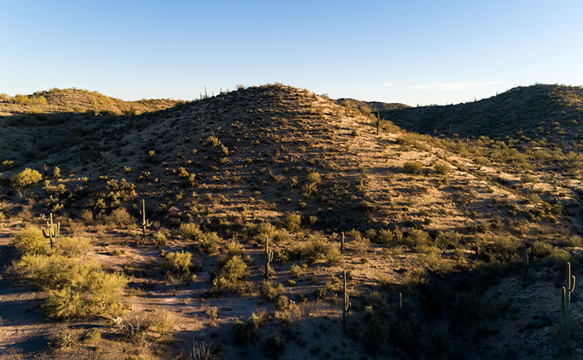
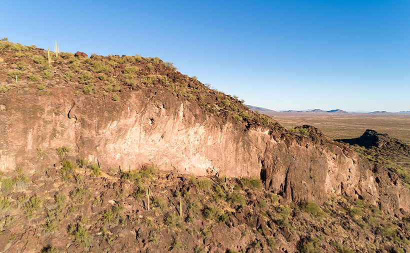
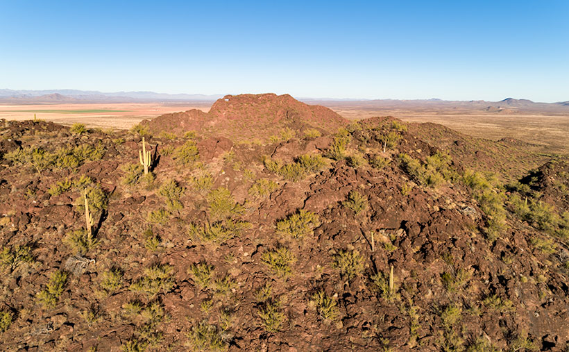
The new monitor also helps my photo editing—like this week’s featured image that I call Evening in the Hills. As with my other March images, this one was taken in the mountains above Wickenburg. This one isn’t about mountains; it’s all about the light. With the sun going down, it began throwing long shadows on the desert, so I turned the camera and captured a group of nearby hills. This was one of those quiet moments when the air was still, and I felt alone in the world.
I hope you like it. You can see a larger version on its Web Page by clicking here. I like reading your comments, so feel free to add your two cents below. Be sure to come back next week for another image from the Wickenburg area.
Until next time — jw