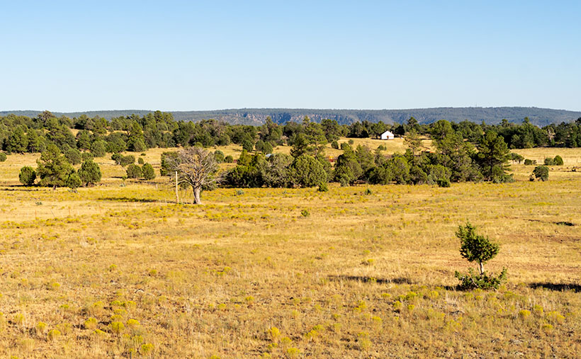
According to Google Maps, a Phoenican’s drive to Tucson takes an hour and thirty-eight minutes. That’s city hall to city hall, so the time you spend on Interstate 10 is less. It’s probably the most excruciating drive in Arizona. It used to be worse. Back during the oil embargo, when the Feds mandated a 55mph speed limit, it almost took two hours. It was a dangerous trip. The commute was so boring and depressing that people pulled to the side of the road and killed themselves rather than going on. Needless to say, I try to avoid that stretch of highway, and that’s why I haven’t been to Tucson in a decade.
After photographing in Organ Pipe Cactus National Monument last month, I became curious about Tucson’s National Park. Yes, that’s right—a National Park within the Tucson city limits (kind of). As you drive into the old pueblo from the north, there are mountains west of the freeway between Cortaro Road and Speedway Boulevard. Those mountains are the backbone of Saguaro National Park—another prime example of the Sonoran Desert diversity. I have never really visited before, so Queen Anne and I packed up the truck and headed east (or south—whichever direction I-10 goes between Arizona’s capital and its second-largest city).
Organ Pipe Cactus NM and Saguaro NP are quite different even though they share the same desert. Except for a swath of land along the roadsides, almost all of Organ Pipe is Wilderness Area, while Saguaro NP is in the middle of town. There are homes west of the park, so the bordering roads along the north and south side are heavily used by commuters. Saguaro National Park’s wilderness experience is like parking a trailer on the summit of Camelback Mountain. It’s hard to enjoy nature with all that traffic whizzing by.
We spent time exploring the roads surrounding Saguaro NP and the single dirt loop that’s still open from dawn to dusk inside the park. Like Organ Pipe, it’s lovely and very photogenic. The Tucson Mountains are at the park’s core, with Wasson Peak the tallest followed closely by Amole Peak on its western flank. As I said, there’s only one drivable loop road—with a great view from its summit—but there are beaucoups hiking trails throughout the park (if you’re into that sort of thing).
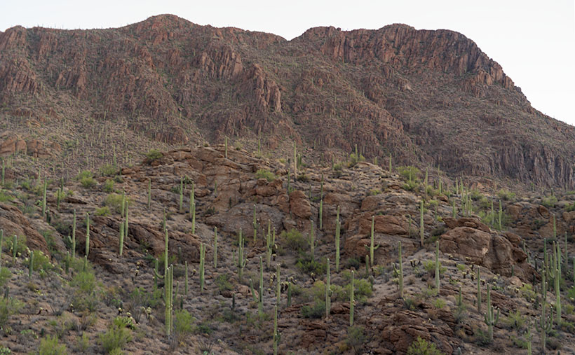
I shot enough material to tell a story this month in chronological order—a day in Saguaro National Park as it were. I took this week’s featured image in the soft light of pre-dawn—the blue hour. It’s technically not from within the park but was taken from the road along the south side. Speedway Boulevard becomes Gates Pass Road as it heads west toward the Old Tucson movie set. I took this photo at the lookout from the top of Gates Pass. In the image, you can see the copious cacti growing up the slope of Bushmaster Peak—part of the Tucson Mountain Range. I named this image Gates Pass Dawn, and I hope you agree that it’s a great way to start our day of exploring Saguaro National Park.
You can see a larger version of Gates Pass Dawn on its Web Page by clicking here. Come back next week when the sun rises on another image further along the road.
Until next time — jw