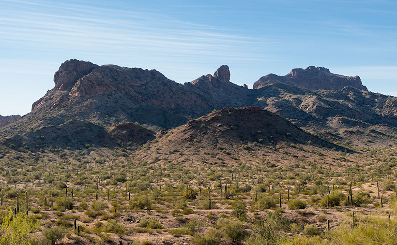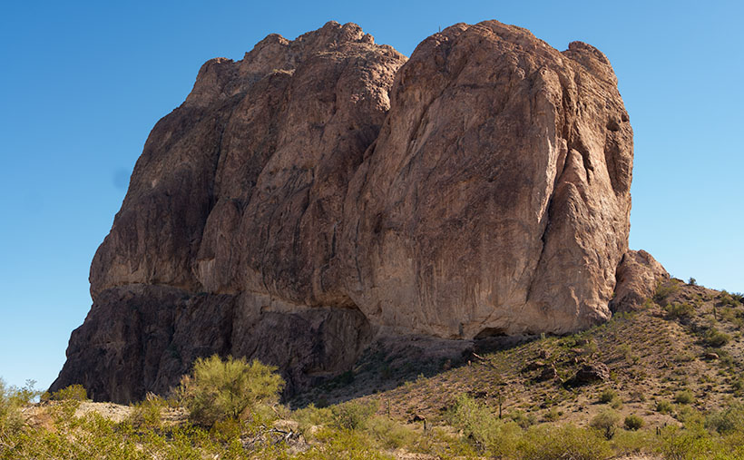
Queen Anne and I traveled to Arizona’s southeast corner this week. One of my future projects is in Cochise County, so we spent a couple of nights in Willcox. The eastern half of the state is unlike where we live. That desert has little cactus. Instead, you see blue mountain ranges rising from the 4000′ elevated broad yellow grass-covered valleys and a couple of dry lakes—or Playas, as the Spanish-speaking people call them. This area shows the geographic diversity of Arizona.
It’s almost over, but it’s still winter, which means it’s still snowbird season, so we skipped seasonal rates at the chain motels near Interstate 10 and opted for a cheaper inn closer to town. The original builders probably built it in the 60-70s, but the current owners work hard to keep it clean and contemporary. Our room had a fresh coat of white paint, new blond fake-wood floors, and a useless bright red sash across the foot of the bed. We could watch long freight trains race past on the Southern Pacific tracks from our window. Three or maybe four of them an hour.
Although the throbbing bass from its five engines was enough to vibrate the bed across the linoleum, the trains didn’t keep us awake. That’s because they never slowed or blasted their horns at the town’s only track-crossing. However, we did have an issue with the new stylish duvet cover. It wasn’t like the plush down-comforter that we have at home. We hit town in-between storms, so the nights were clear and cold—below freezing. We tried to heat the room using the window-air conditioner, but every time it cycled on, it was the equivalent of a DC3 engine starting next to the bed. We finally shut it off and slept closer to one another.
Another amenity missing in little places like these was in-room coffee. I can’t function without my morning java. So, I’d get dressed and venture out to secure my fix at first light. In the golden light, I searched the town for a coffee house. Not only did I find one, but I also discovered a neat little mom-and-pop bakery and the Willcox historic district. Since I had hours to kill while I waited for Her Majesty to prepare herself for public viewing, I wandered the eight blocks with coffee in one hand and camera in the other. After a couple of mornings, I had enough images to decide that March’s project would be about Willcox.
If you drive through Willcox on Interstate 10, you won’t see much—only the usual chain motels and burger joints located at the mid-town exit. Even if you drive through town on the freeway bypass, you’ll pass some old motels, a couple of RV parks, and a gas station or two. There are many closed businesses along the road. The exciting stuff is on Railroad Avenue—next to the tracks because Willcox was built by and for the Southern Pacific Railroad.
Long-time readers may recall that the early steam engines ran on fuel and water. Willcox Playa—a seasonal lakebed—is conveniently located midway between El Paso and Phoenix, so Southern Pacific built a whistle-stop there in 1880. The company dubbed the town Maley. It was a single-purpose town for nine years when a guy, General Orlando B. Willcox, got off to stretch his legs and realized that it would be a fabulous place to raise cattle.
Willcox wasn’t even on a significant highway until the Feds completed Interstate 10 in 1960. Before that, the southern Coast-to-Coast highway was US 80. It went south around the Chiricahuas to Douglas and then Tombstone.
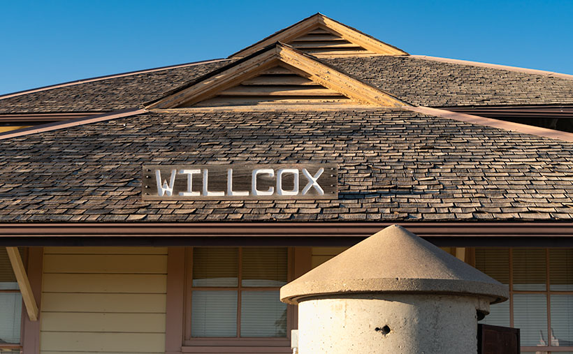
This week’s picture directly relates to the railroad birth of Willcox. It’s a shot of the train depot located at the heart of old-town. It’s a large building for a small town and in pretty good shape, considering the railroad closed the depot years ago. Today the trains race past at full speed and don’t even blow their horn. It’s now the town’s city hall. I liked how the pyramid pattern repeats from the turret to the roof peaks. I called this image Willcox Depot.
You can see a larger version of Willcox Depot on its Web Page by clicking here. Next week, I’ll show you another location I shot during my Willcox wanderings.
Until next time — jw